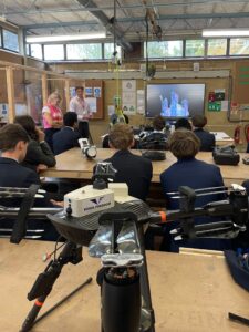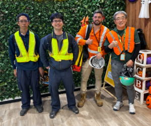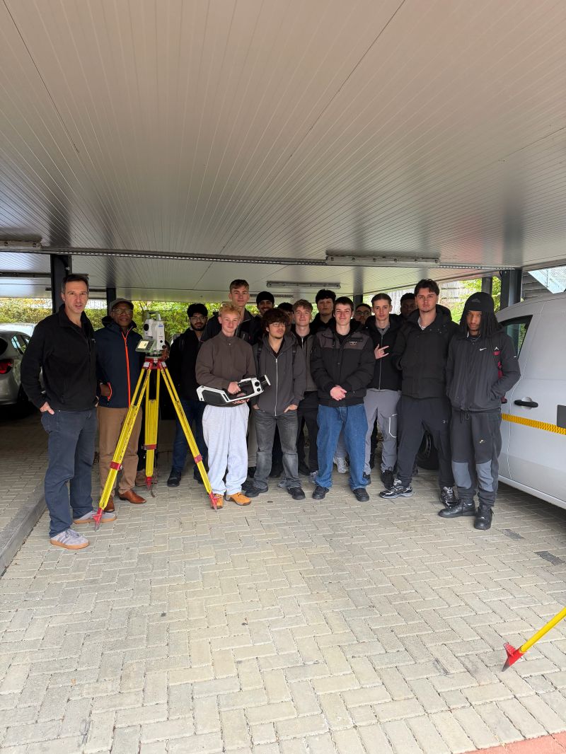
Plowman Craven welcomed 20 students from West Herts College for an introduction to geospatial surveying, combining an insight into career opportunities with practical experience of survey equipment.
The students, who are in the first year of their two-year Civil Engineering T Level course, spent three hours with Ross Macaulay, Head of Survey, exploring how surveying supports the built environment and connects with their studies.
Ross led a presentation entitled ‘What is Geospatial Surveying?’, introducing the profession and helping students understand what a career in the sector could look like. With the group still at an early stage of their geospatial studies, the session provided an opportunity to build their understanding, ask questions and discuss the work surveyors undertake.
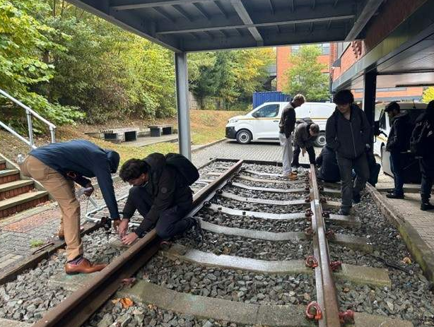
Putting learning into practice
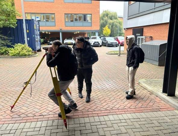
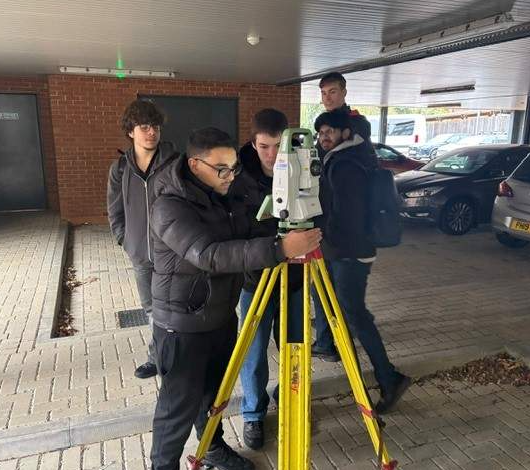
Following the two-hour presentation and discussion, the students headed outside for an hour of practical activities. They were introduced to a total station and an automatic level, tried levelling a small bipod on our rail track and practised looking through the level at a levelling staff.
The group also had a brief demonstration of the NavVis MLX mobile mapping system, giving them a glimpse of another technology used in geospatial data capture.
The visit highlighted the close relationship between civil engineering and geospatial surveying, a route reflected in the careers of colleagues at Plowman Craven who studied civil engineering before entering the profession.
By bringing classroom learning into a working environment, visits like this help students connect their studies with practical applications and explore the career paths available to them. It was a pleasure to welcome such an engaged group and support their introduction to the surveying profession.
If you would like to find out more about educational visits and opportunities to introduce students to geospatial surveying, please contact Ross Macaulay at [email protected].