Remote &
Aerial Inspection. 

Aerial insight through advanced LiDAR, photogrammetry and imaging.

Understand assets and environments from above.

Providing complete spatial awareness and actionable insight from the air.

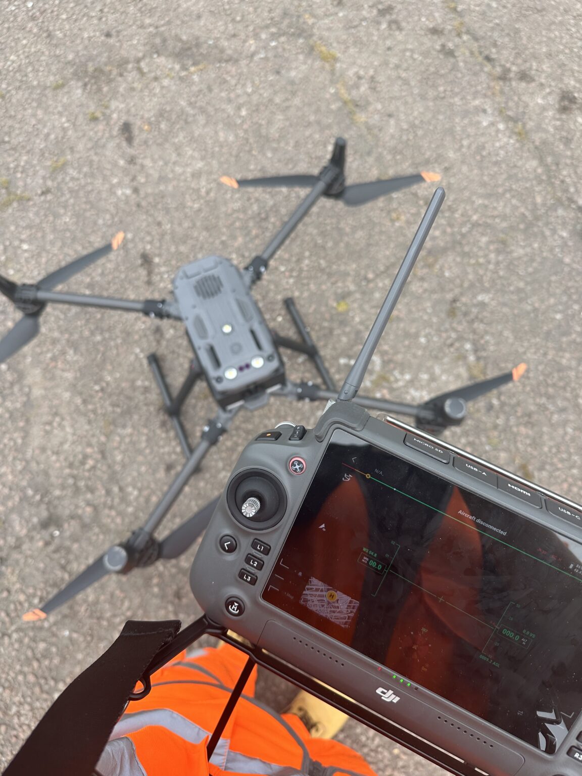
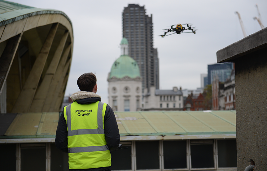
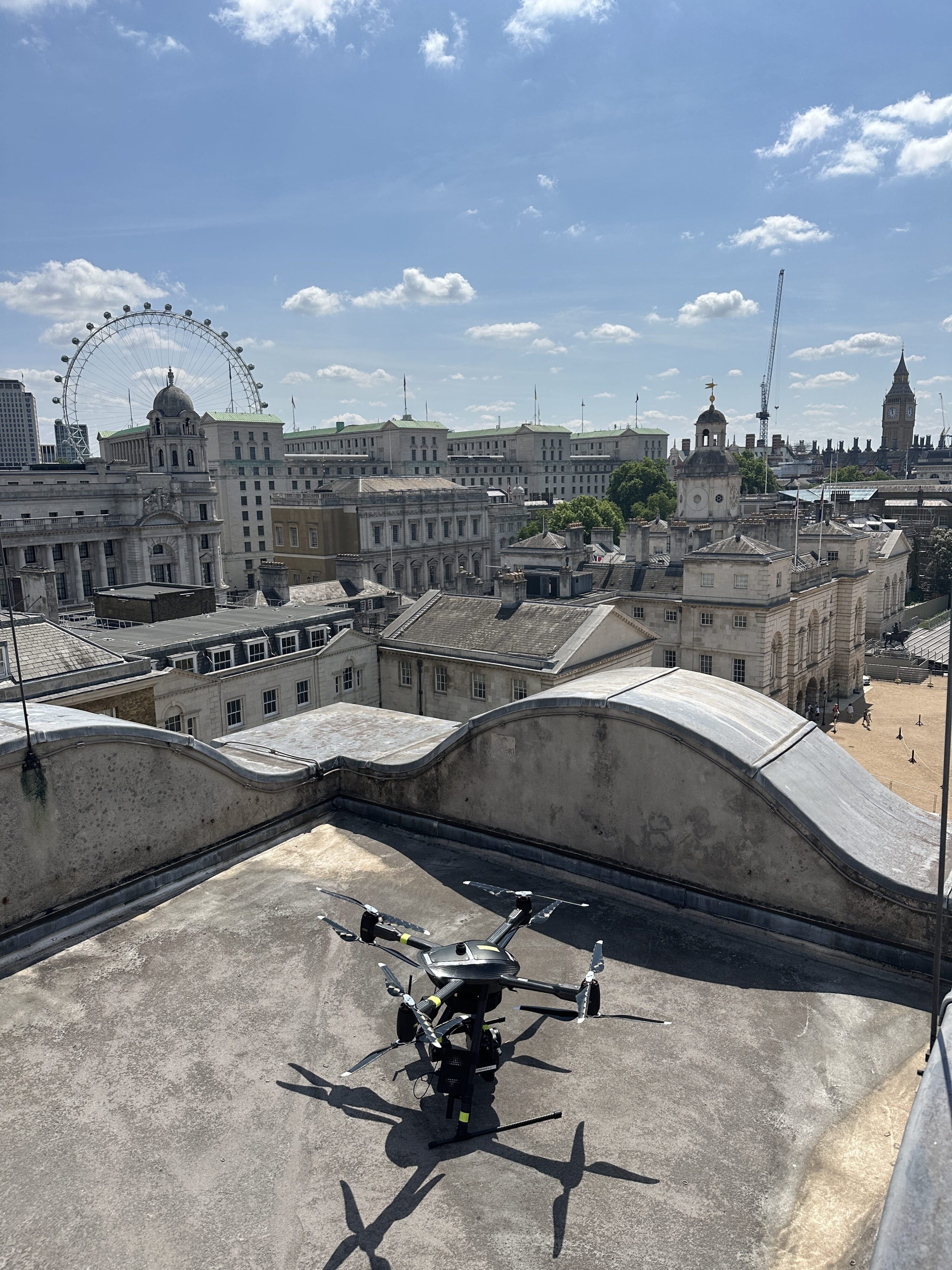
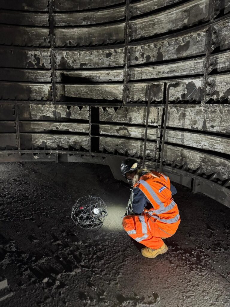
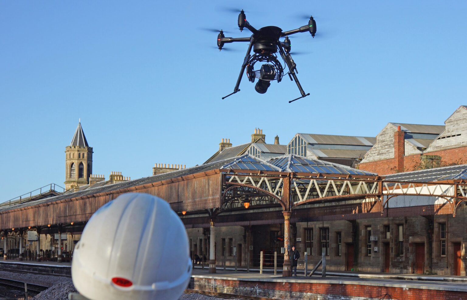
Plowman Craven’s Remote & Aerial Inspection services deliver high-quality visual and spatial data across corridors, structures and complex sites.

Using drone-mounted LiDAR, photogrammetry and thermal imaging, we capture measurable 3D information that supports planning, asset management and digital twin development.

Our aerial capability offers safe, efficient and scalable coverage of large or hard-to-reach areas, giving clients the clarity and confidence to make informed decisions at every stage of the asset lifecycle.

Aerial LiDAR and photogrammetric surveying.

Survey-grade aerial mapping for structures, corridors and wide-area environments.

Our drone-based LiDAR and photogrammetric surveys combine high-resolution imaging with spatial data to deliver a true digital representation of the built and natural environment. The result is reliable, scalable information that supports planning, design and operational decisions across large or inaccessible sites.

  • Aerial LiDAR Surveying captures dense point clouds for terrain, structural and corridor mapping.
  • Photogrammetry & Orthomosaic Mapping produces detailed RGB imagery and surface models for façades, roofs and site mapping.
  • Geo-referenced Data Delivery supplies orthomosaics, point clouds and 3D meshes aligned to engineering coordinate systems for BIM and GIS use.
  • Aerial Modelling for Digital Twins creates measurable 3D datasets ready for integration into digital asset management systems.

Thermal imaging and aerial condition mapping.

Identifying performance and energy loss across buildings and infrastructure.

Aerial thermal inspection enables large-scale assessment of roof condition, building envelope performance and energy efficiency. By combining high-resolution thermal data with geospatial mapping, our surveys reveal issues such as heat loss, moisture ingress and insulation failure across wide or complex sites.

  • Thermal Mapping & Analysis identifies insulation failure, heat anomalies and water ingress.
  • Energy Performance Assessment benchmarks efficiency to support ESG and retrofit programmes.
  • Combined Visual and Thermal Reporting integrates visible and thermal imagery for complete context.
  • High-Risk Area Monitoring inspects elevated, remote or restricted areas safely from the air.

Progress and change monitoring.

Tracking development and transformation with repeatable aerial capture.

Repeatable UAS surveys provide verifiable, time-stamped data to monitor construction progress, asset change or environmental impact. Captured imagery and point clouds deliver a transparent record of site evolution and can be compared across project phases for assurance and stakeholder reporting.

  • Progression Monitoring records construction or maintenance activity over time.
  • Change Detection quantifies movement or material variation between survey intervals.
  • Long-Term Asset Tracking supports ongoing monitoring of corridors and distributed infrastructure.
  • Visual Reporting delivers intuitive imagery and models to support clear communication and decision-making.

Why work with us?

Aerial expertise that delivers clarity, coverage and confidence.

Plowman Craven combines decades of geospatial expertise with advanced drone-based surveying to deliver high-quality aerial data safely and efficiently. Remote & Aerial Inspection gives organisations a smarter way to capture and understand their assets, providing rapid, scalable and reliable insight to support planning, maintenance and management throughout the asset lifecycle.

Our remote & aerial inspection capabilities.

Project experience.

Our remote and aerial inspection expertise supports infrastructure, transport, energy and property projects across diverse environments. Trusted by engineers, operators and asset owners, we deliver verified spatial data that enables confident, compliant and sustainable management.

Talk to our
Remote & Aerial Inspection experts.