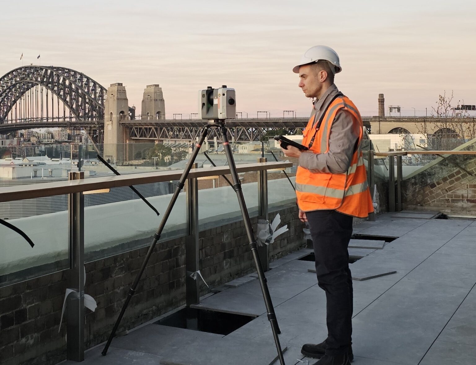
Boundary surveying, topographic capture and laser scanning gave architects a detailed record of an existing warehouse and its surrounding site.
A proposed warehouse redevelopment in Thebarton required reliable information about the building before design work could progress.
Plowman Craven Australia combined boundary identification, topographic surveying and terrestrial laser scanning in one coordinated survey. The resulting point cloud and 2D drawings gave the architects a detailed basis for assessing the existing structure and planning its future use.
Understanding an ageing building before redevelopment
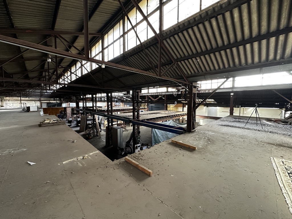
The design team needed to understand more than the warehouse footprint. Internal columns, openings, levels, ceiling heights and roof structure could all affect decisions about what might be retained, adapted or removed.
Historic boundary information also required careful interpretation for Development Application planning. As the site was interstate, the team needed to plan its visit thoroughly and capture the required detail within a limited time on site.
Combining boundary, topographic and measured building surveys
Plowman Craven Australia mobilised to South Australia and completed the principal laser scanning work during a two-day site visit.
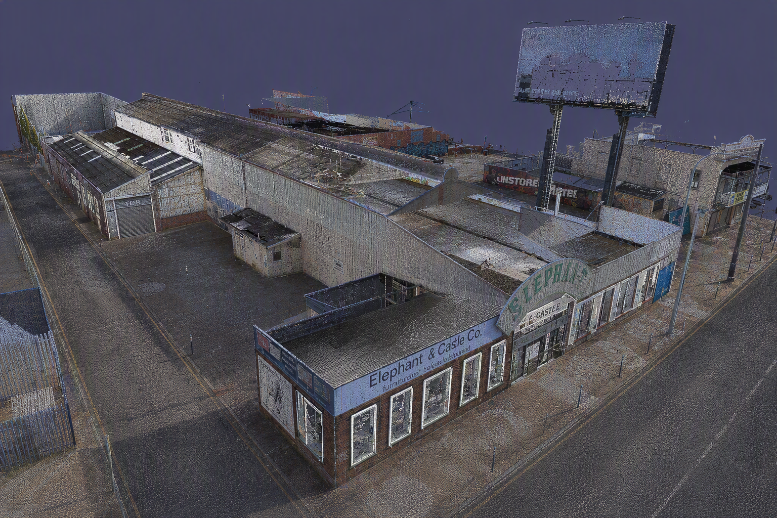
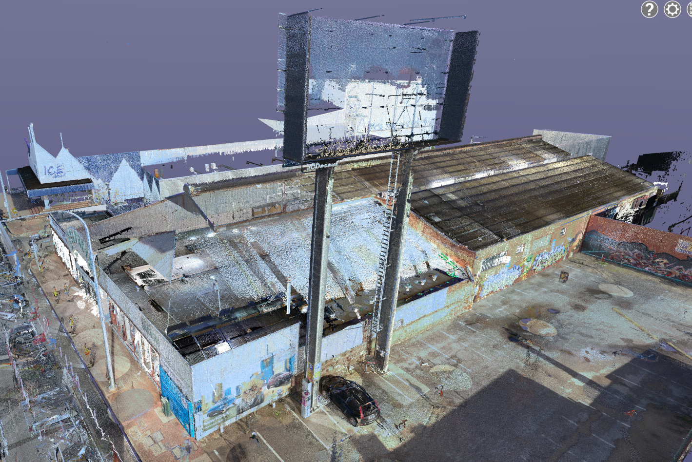
The team established survey control and captured detailed three-dimensional information throughout the warehouse and across the wider site. This included the building’s walls, columns, openings, floor levels and overhead structure, along with features near the site boundaries.
Where parts of the existing mezzanine were unsuitable for conventional access, laser scanning enabled the team to capture information from safer positions.
The survey data was used to produce floor plans, reflected ceiling plans, elevations, cross sections, topographic drawings and boundary information as one coordinated package.
Boundary, topographic and measured building information was brought together to give the design team a consistent record of the property.
Detailed drawings and point cloud data helped the architects assess the warehouse’s existing structural and architectural features.
Laser scanning allowed the team to document parts of the building without unnecessarily accessing areas unsuitable for conventional survey work.
Boundary information supported Development Application planning, while the measured building drawings provided a basis for redevelopment design.
The team mobilised to South Australia approximately two weeks after the initial request for quotation and completed its principal scanning work in two days.
Plowman Craven Australia delivered a detailed existing conditions survey of the warehouse and surrounding site.
The coordinated boundary information, point cloud and 2D drawings gave the architects a clearer understanding of the building as it stood. With floor plans, ceiling plans, elevations and sections available, the team could assess redevelopment options using captured survey information rather than relying on incomplete historic records.
2-DAY SITE VISIT
Principal laser scanning completed on site
~2-WEEK MOBILISATION
From initial request for quotation to starting on site
3D POINT CLOUD
Detailed capture of the warehouse and surrounding features
ONE SURVEY PACKAGE
Boundary, topographic and measured building information coordinated
2D DOCUMENTATION
Floor plans, reflected ceiling plans, elevations and sections produced
INTERSTATE DELIVERY
Survey expertise mobilised to South Australia