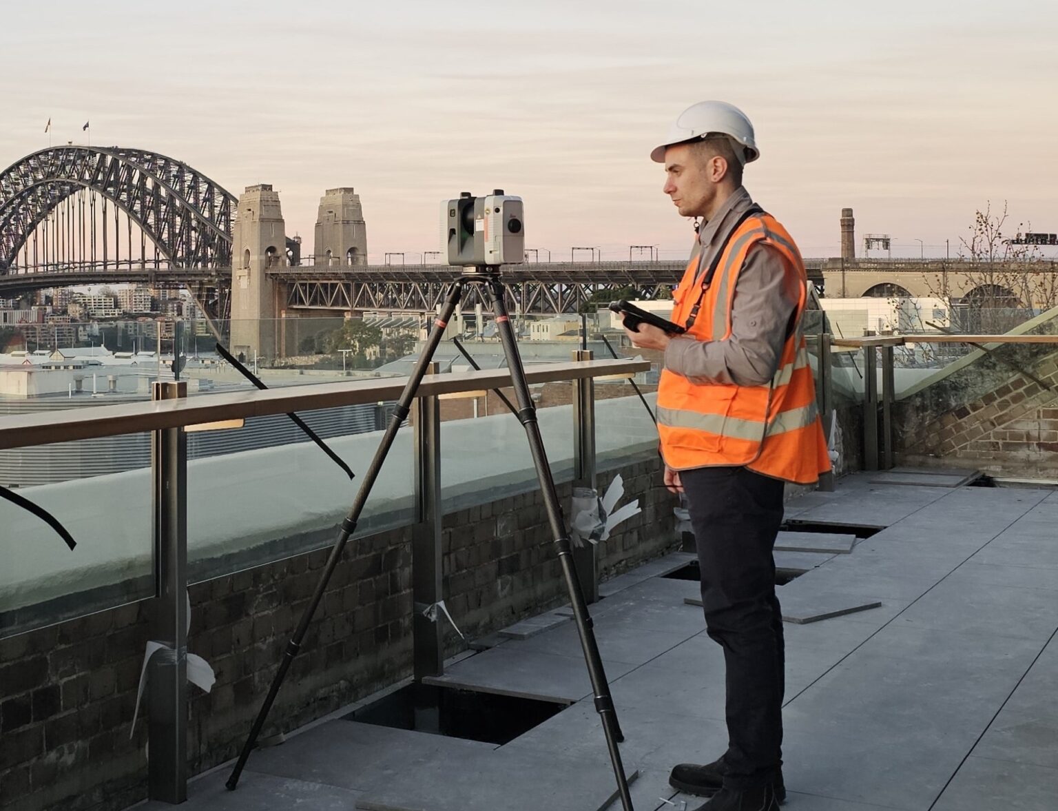
An international geospatial surveying programme capturing 15 MRT stations across approximately 232,500 sq m, providing the accurate spatial data needed to support Waymap’s accessible navigation technology.
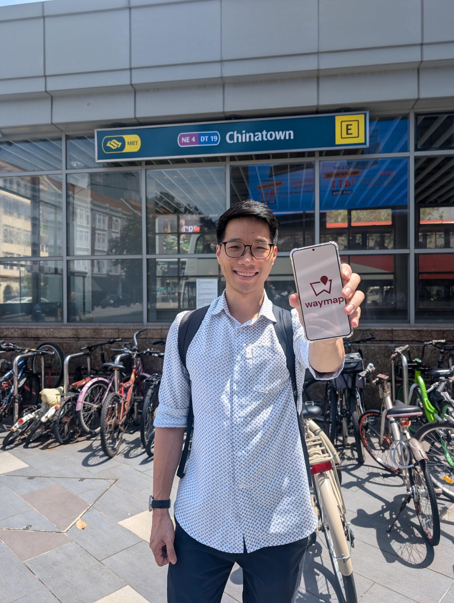
Plowman Craven was appointed by inclusive navigation technology company Waymap to capture accurate geospatial information across 15 Mass Rapid Transit (MRT) stations in Singapore.
Following earlier projects together in the UK, this represented Plowman Craven’s first major international surveying programme with Waymap, covering approximately 232,500 sq m.
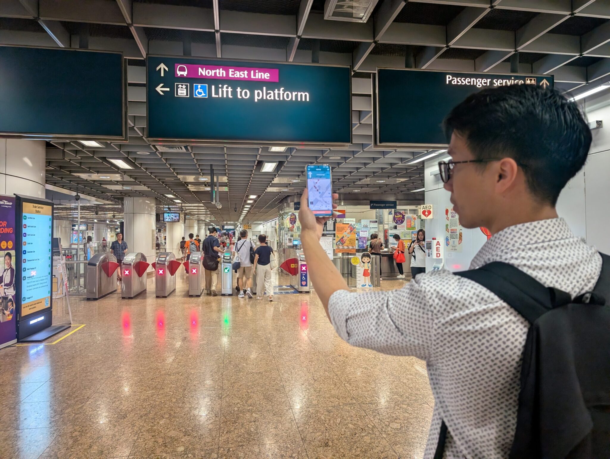
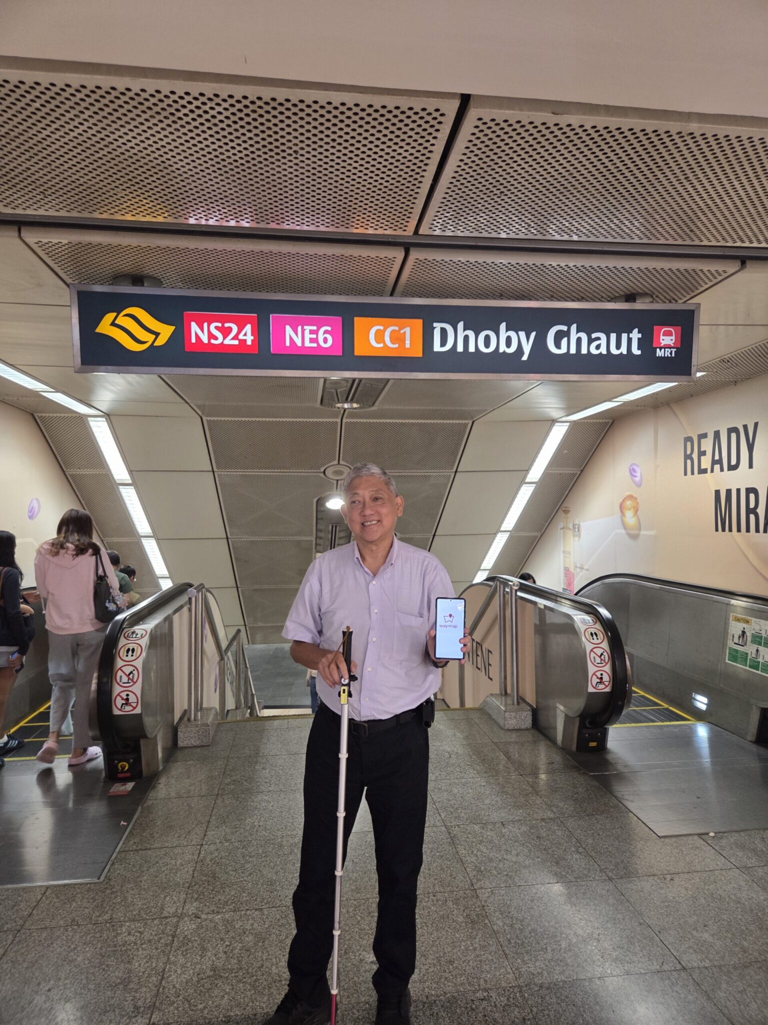
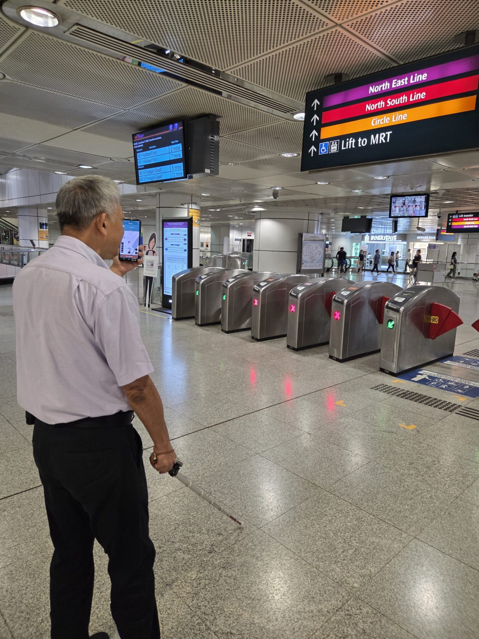
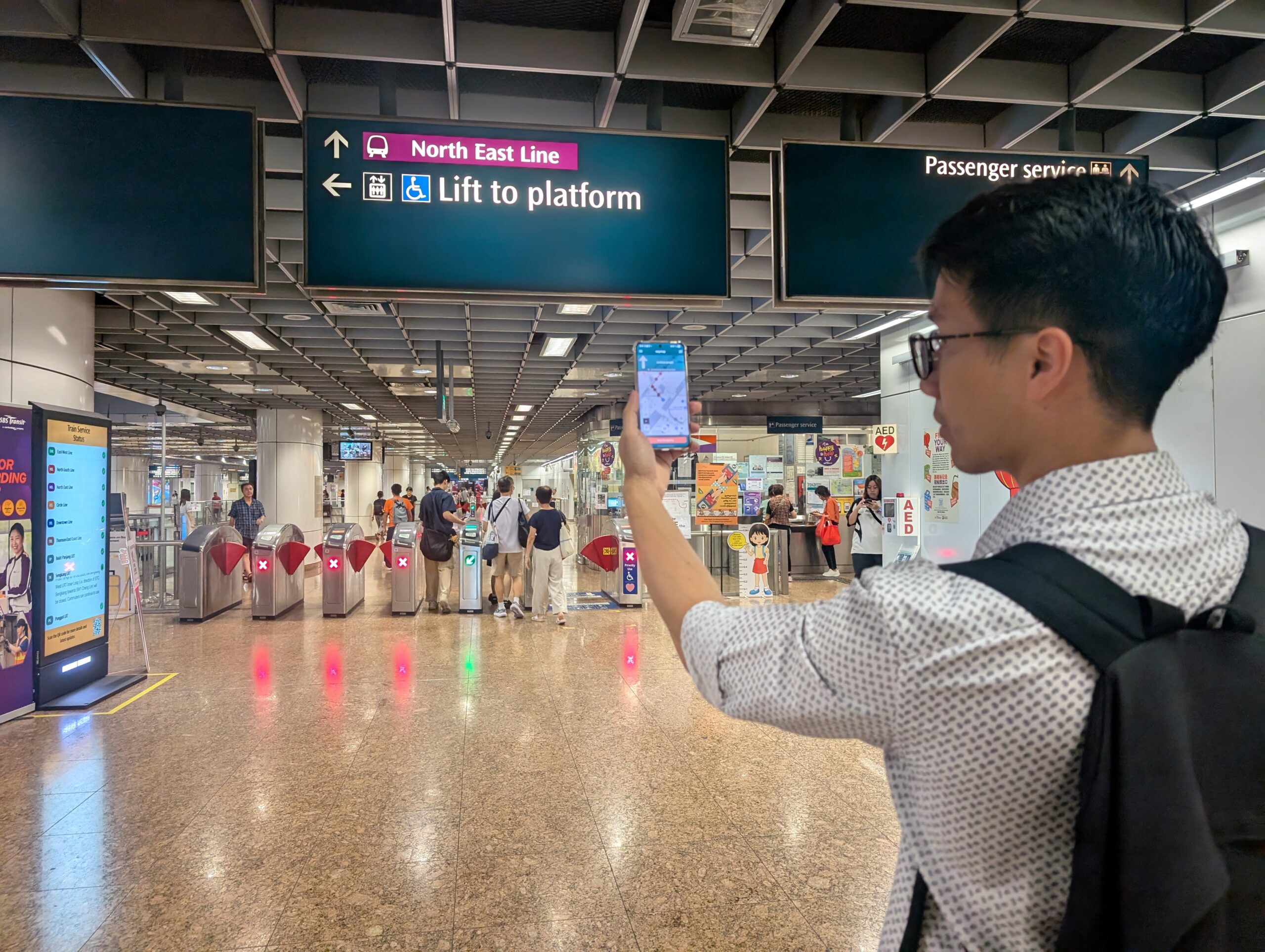
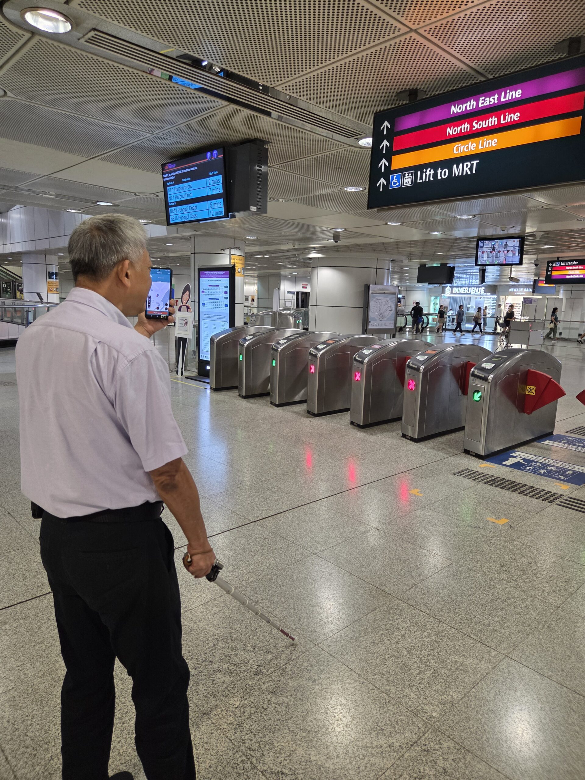
The survey provided the spatial foundation required for Waymap to build its accessible navigation environment, helping people navigate complex station layouts and move between platforms, concourses, entrances and exits with greater confidence and independence.
The programme required accurate and consistent geospatial information across 15 operational transport environments, delivered within an exceptionally compressed timeframe.
With approximately two weeks between instruction and mobilisation, Plowman Craven needed to coordinate specialist personnel, survey equipment, international travel and local working requirements at pace.
Teams deployed from the UK and Australia worked alongside local surveying resource in Singapore, creating an international workflow spanning multiple countries and time zones.
The volume of information presented a further challenge. Individual surveyors captured up to 200GB of data per day, requiring effective backup, transfer and processing arrangements to maintain progress throughout the programme.
Plowman Craven brought together surveying teams from the UK, Australia and Singapore to deliver a coordinated programme of mobile mapping, laser scanning and 3D data capture.
The survey scope included point cloud production, CAD drawings and 360° panoramic imagery, providing detailed spatial information to support the creation of Waymap’s navigation environment.
International processing workflows supported the management and delivery of substantial datasets, keeping site activity and data production moving together within the demanding programme.
By combining specialist geospatial expertise with international resource and coordinated project management, Plowman Craven provided the accurate digital foundation needed to support accessible navigation across complex indoor and underground environments.
The programme provided Waymap with accurate spatial information across 15 MRT stations, supporting accessible navigation and demonstrating Plowman Craven’s ability to deliver complex international surveys at scale.
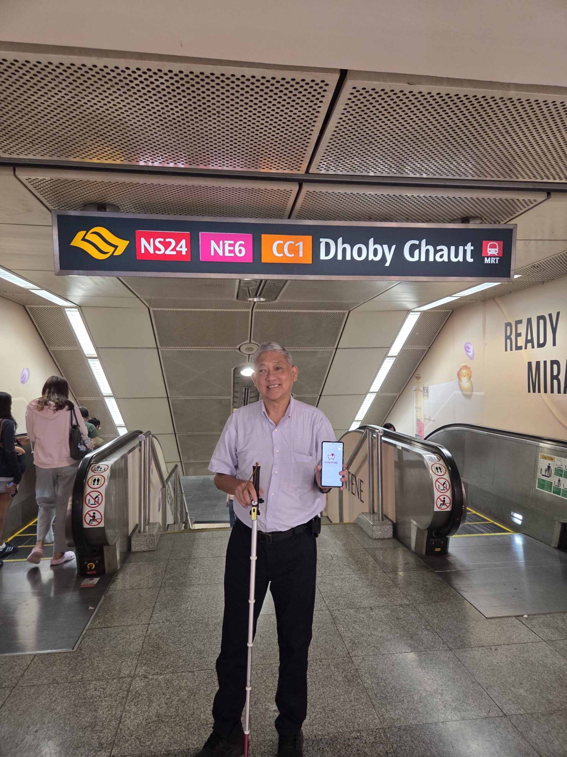
Accurate geospatial data provided the foundation for Waymap’s navigation technology, designed to help blind and visually impaired people and users with a range of accessibility requirements navigate independently.
Plowman Craven mobilised in approximately two weeks, coordinating specialist personnel, equipment and project logistics across international locations.
Approximately 232,500 sq m was captured across 15 MRT stations, providing consistent spatial information across a substantial transport network programme.
With individual surveyors capturing up to 200GB per day, coordinated data management and processing workflows supported the transfer and delivery of substantial datasets.
Teams across the UK, Australia and Singapore combined surveying, project management, data processing and drawing production expertise to deliver one coordinated programme.
“It was a fantastic achievement to deliver a project of this scale, in that geography and within such a compressed period of time. We had people from different parts of the world converging in Singapore, specialist equipment to mobilise and enormous volumes of data to manage. It was a huge team effort to keep everything moving at the pace required and deliver successfully for the client.”
Plowman Craven successfully delivered the Singapore programme despite compressed timescales, complex international logistics and substantial volumes of survey data.
The project provided the accurate spatial foundation required to support Waymap’s accessible navigation environment across 15 MRT stations, demonstrating how geospatial surveying can help make complex transport environments easier to navigate.
Its successful delivery strengthened the relationship between Plowman Craven and Waymap, supporting further collaboration and the subsequent formalisation of their partnership.
The programme established a scalable approach to combining international surveying expertise with inclusive navigation technology, supporting future deployments across transport networks and other complex public environments.