A UAS photogrammetry and LiDAR survey was delivered using a fully integrated, survey-grade workflow tailored for live rail environments.
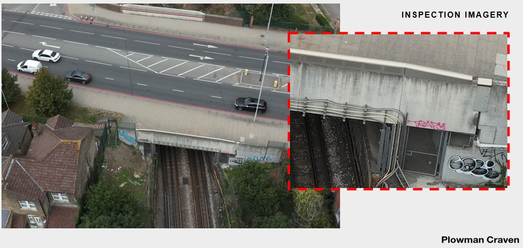
Using the TFL ‘Plant Approved’ operational status that Plowman Craven has gained through detailed safety analysis and documentation, our survey team conducted controlled flight operations alongside the operational railway. High-resolution nadir and oblique imagery was captured to enable continuous corridor coverage without the need for extended possessions or service disruption.
The approach combined aerial capture, survey control and processing within a single methodology:
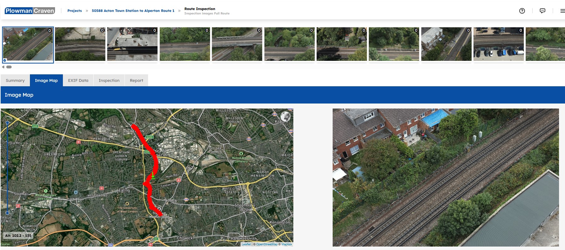
- Client-led inspection routines focused on defined areas of interest
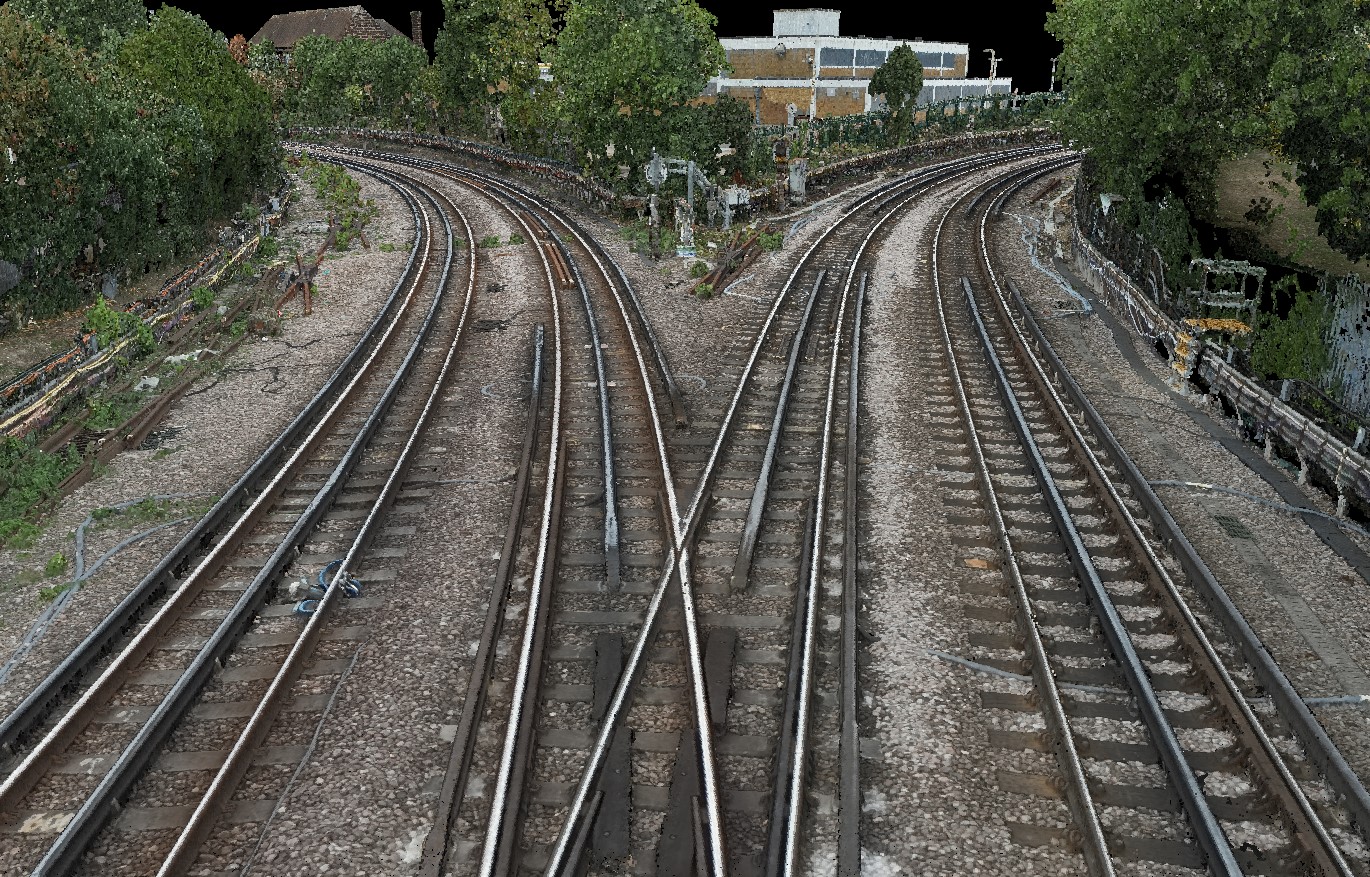
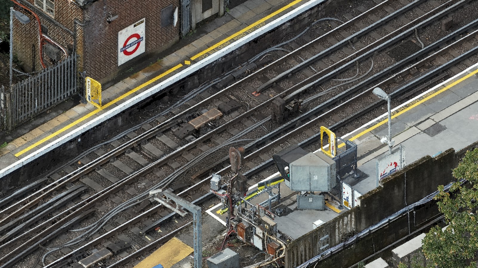
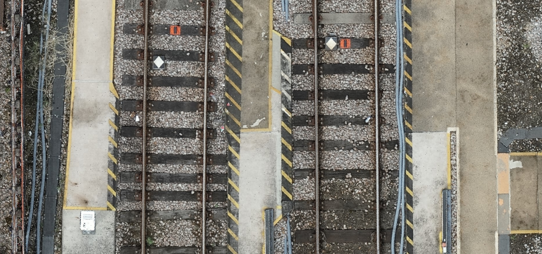
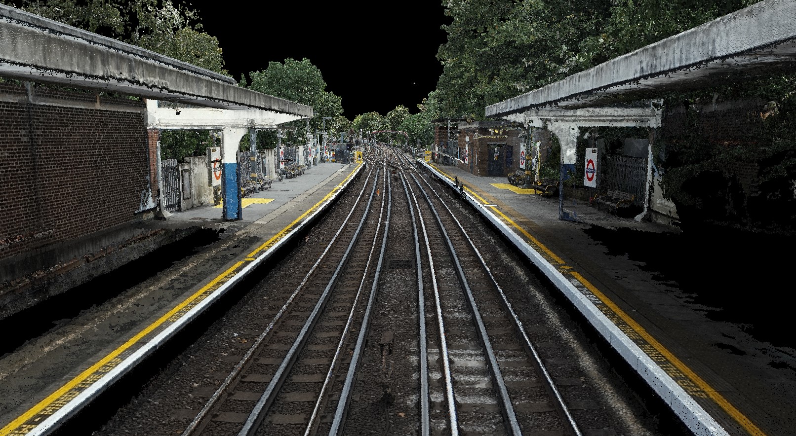
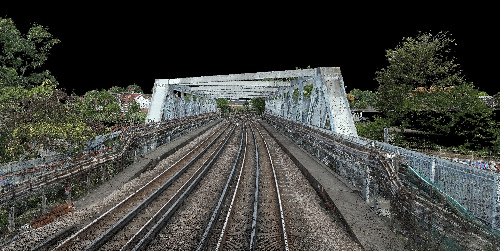
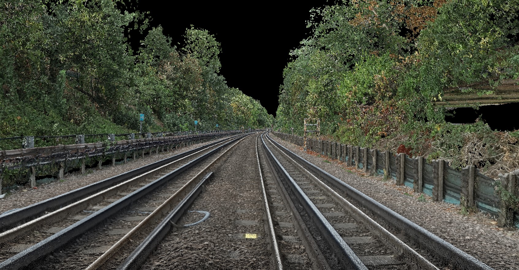
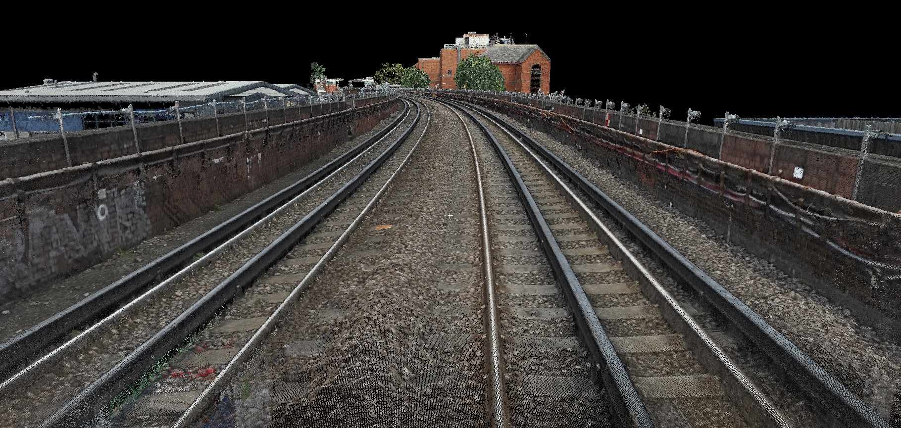
- UAS photogrammetry generating dense, colourised 3D point clouds
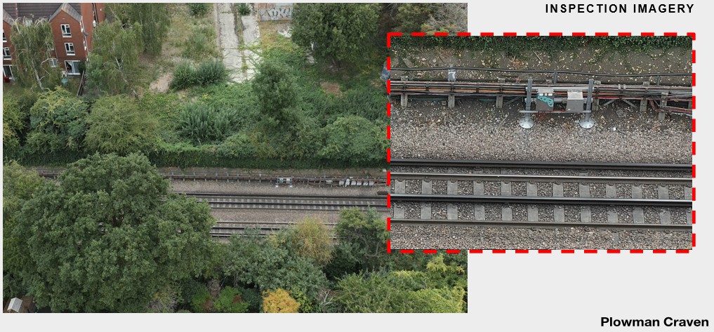
- Targeted nadir and oblique imagery to achieve full asset and structural resolution
- Detailed capture of platforms, track, drainage, bridges and retaining structures
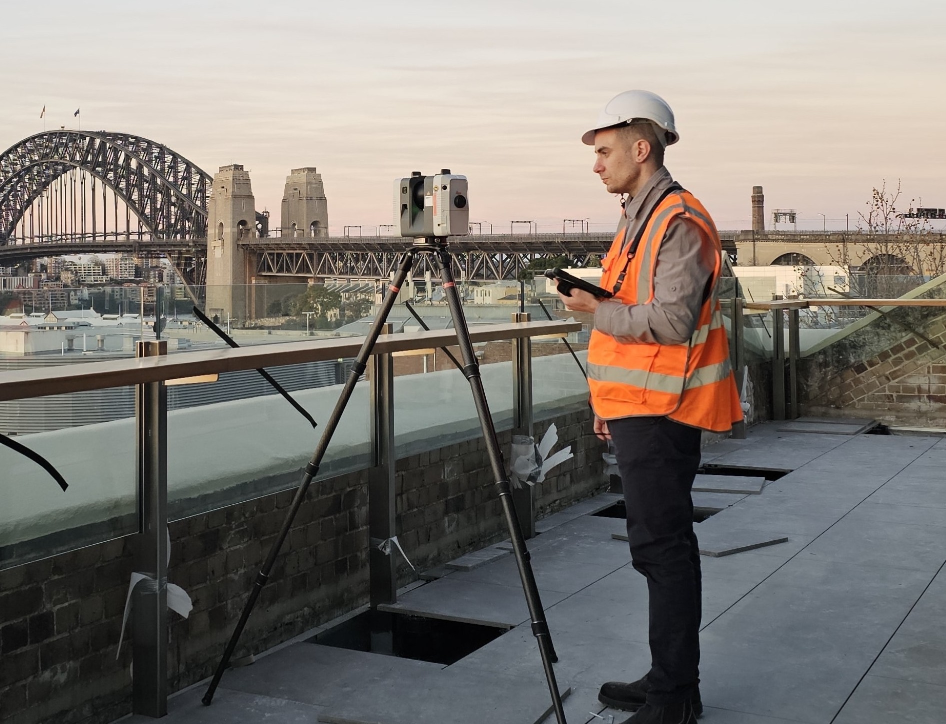
- RTK GNSS survey control to OS Grid and Datum, later transformed to London Survey Grid
- Independent accuracy verification across the full corridor
- Processing workflows delivering high-resolution point clouds and orthomosaic outputs
- Comprehensive RAMS, aviation approvals and rail interface planning
This approach delivered a continuous, corridor-wide 3D dataset suitable for engineering assessment and digital design, while maintaining safe separation from live rail operations.