19 education sites. 5-month programme. One digital
foundation for net zero planning.
Barker Associates appointed Plowman Craven to support the GB Energy Solar
Partnership Programme, providing survey and digital capture across 15 schools
and colleges in Manchester, plus four sites in southern England.
Combining UAS, laser scanning, orthophotos, 360° imagery and digital modelling,
Plowman Craven created detailed estate records. Delivered through Easl, the data
enabled teams to assess existing conditions, roof space and opportunities for
energy-saving measures, including photovoltaic installations.
Developing net zero strategies across multiple education sites required accurate, consistent information about each estate.
The project team needed to:
· Quantify building dimensions, roof areas and existing asset locations.
· Understand available roof space and conditions to assess opportunities for photovoltaic installations.
· Capture consistent, high-quality information across a large portfolio of schools.
· Work around operational education environments, vulnerable pupils and enhanced DBS requirements.
· Complete most of the survey activity during school holidays and half-term periods to minimise disruption.
· Deliver useful digital information at pace and within programme and budget constraints.
The challenge was not simply capturing each school, but creating information that architects, engineers and consultants could use to develop net zero interventions.
Plowman Craven brought together expertise from Asset Management, Digital Construction and Inspection to deliver an integrated survey, modelling and digital delivery solution.
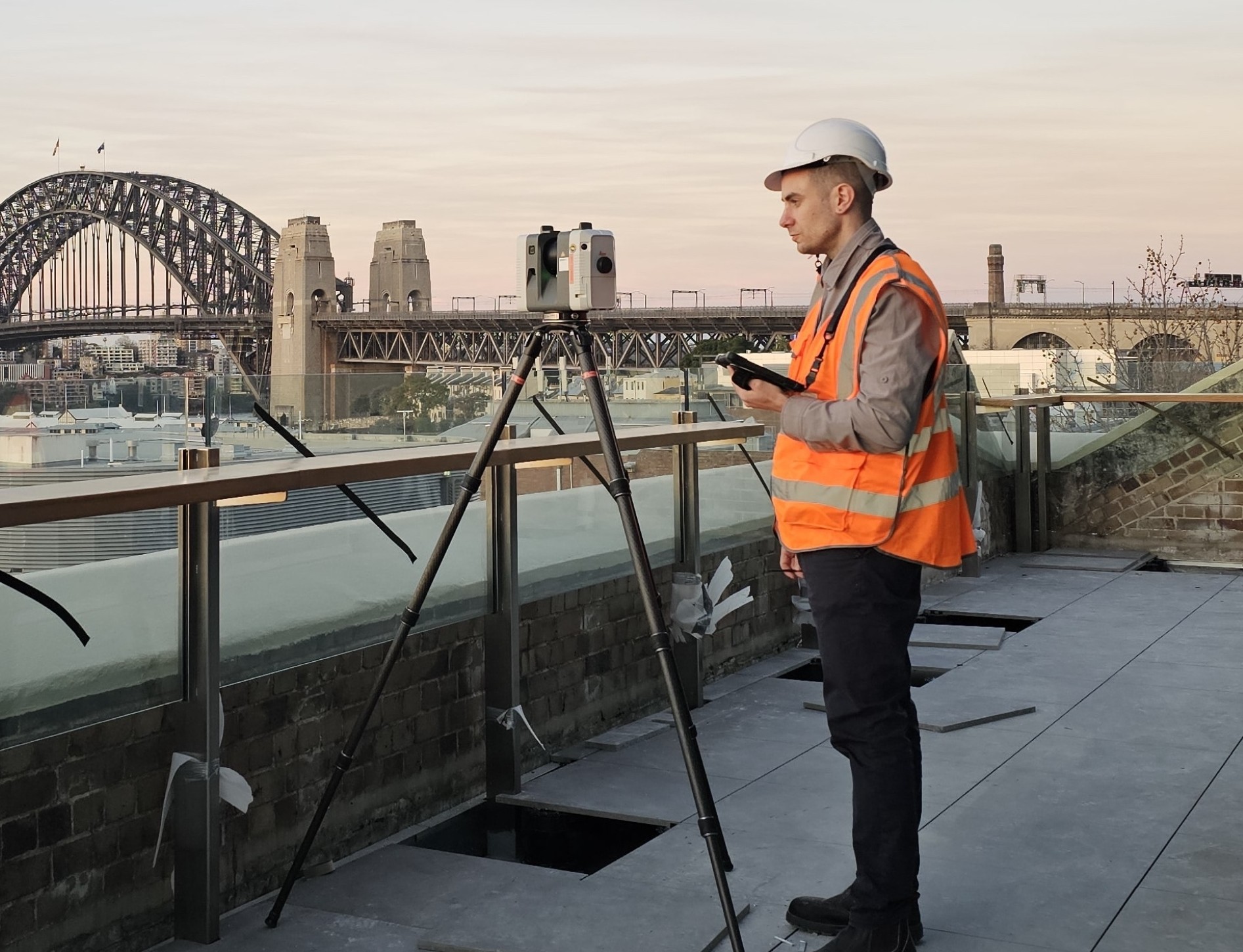
UAS surveys captured external areas and detailed roof-level information, while ground-based laser scanning provided accurate spatial information across the school sites and buildings. Together, both methods generated comprehensive point cloud datasets.
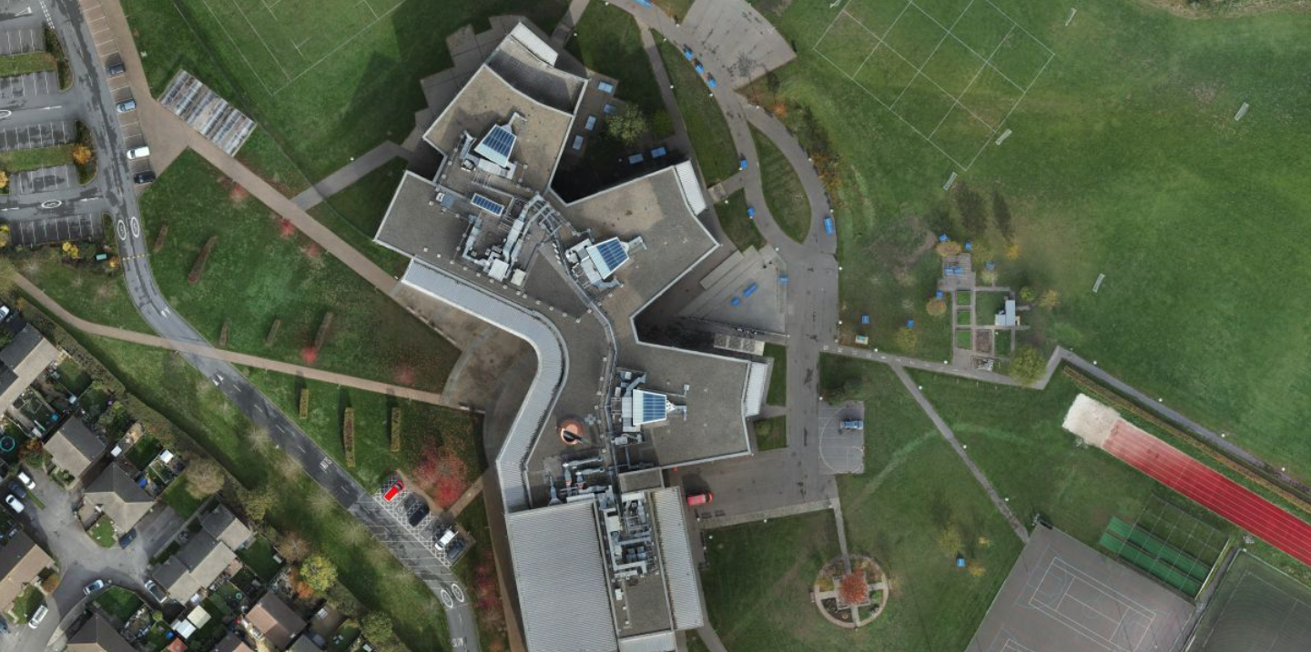
High-resolution orthophotos created from the UAS capture provided a detailed top-down view of each school, including roof layouts and surrounding hard and soft landscaping.
This information was particularly valuable for net zero planning, enabling consultants to understand roof condition and available roof space when assessing potential photovoltaic installations.
Ground-based scanning also generated 360° panoramic imagery, giving stakeholders a detailed visual record of existing conditions that could be revisited remotely.
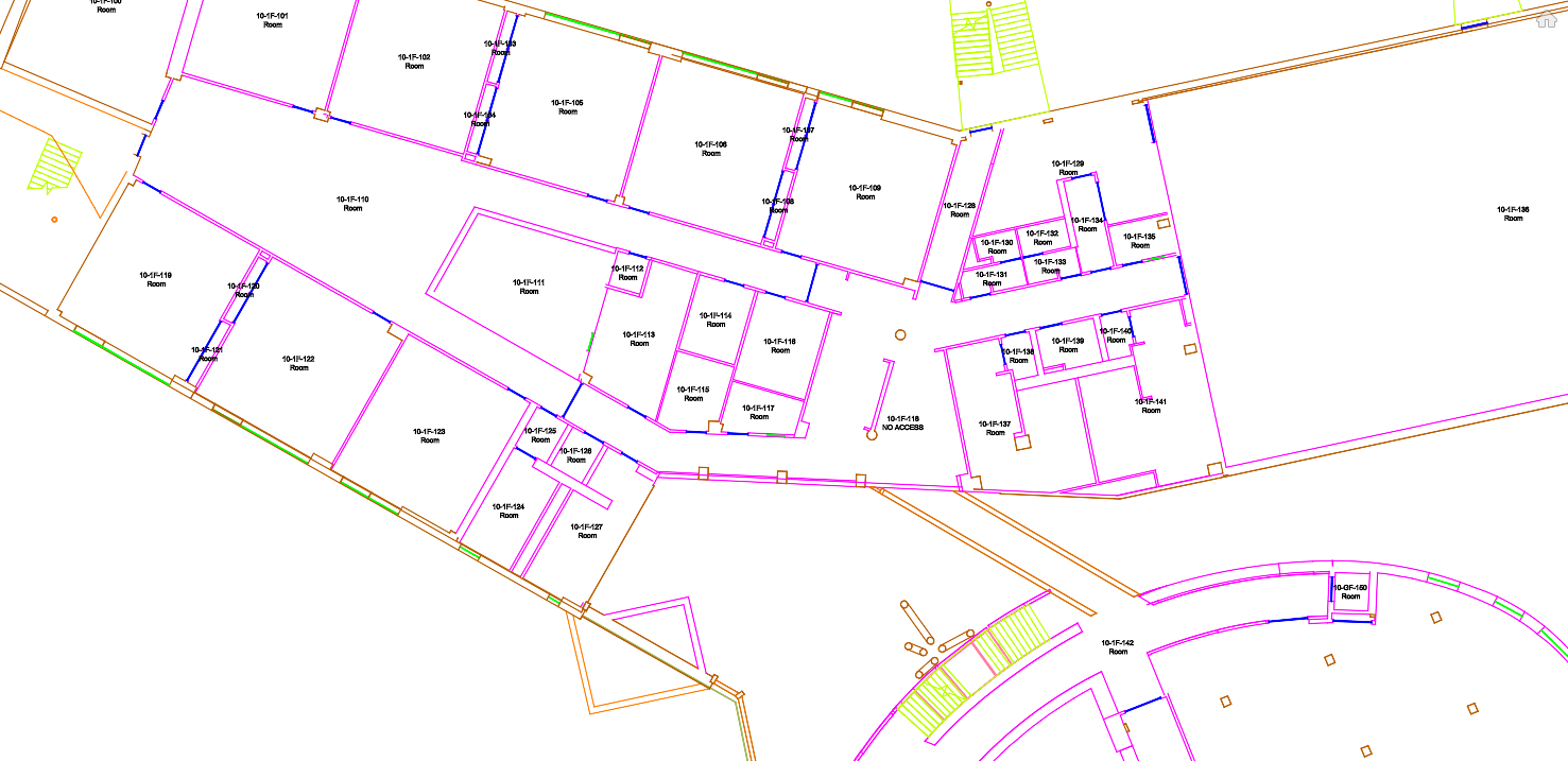
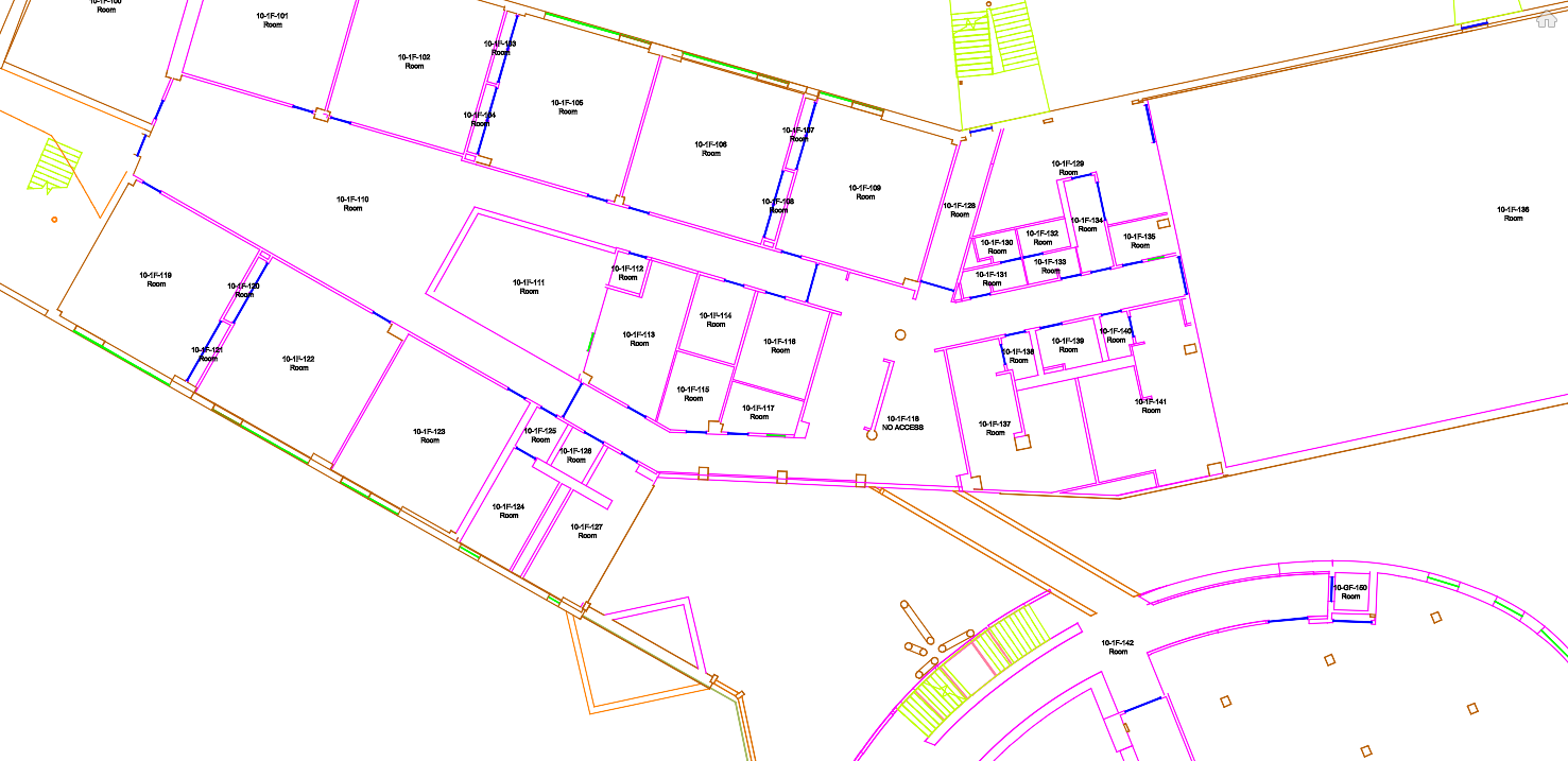
Captured information was then transformed into component-based BIM models and CAD information for practical use by architects, engineers and consultants, with relevant asset information incorporated to increase the long-term value of the digital record.
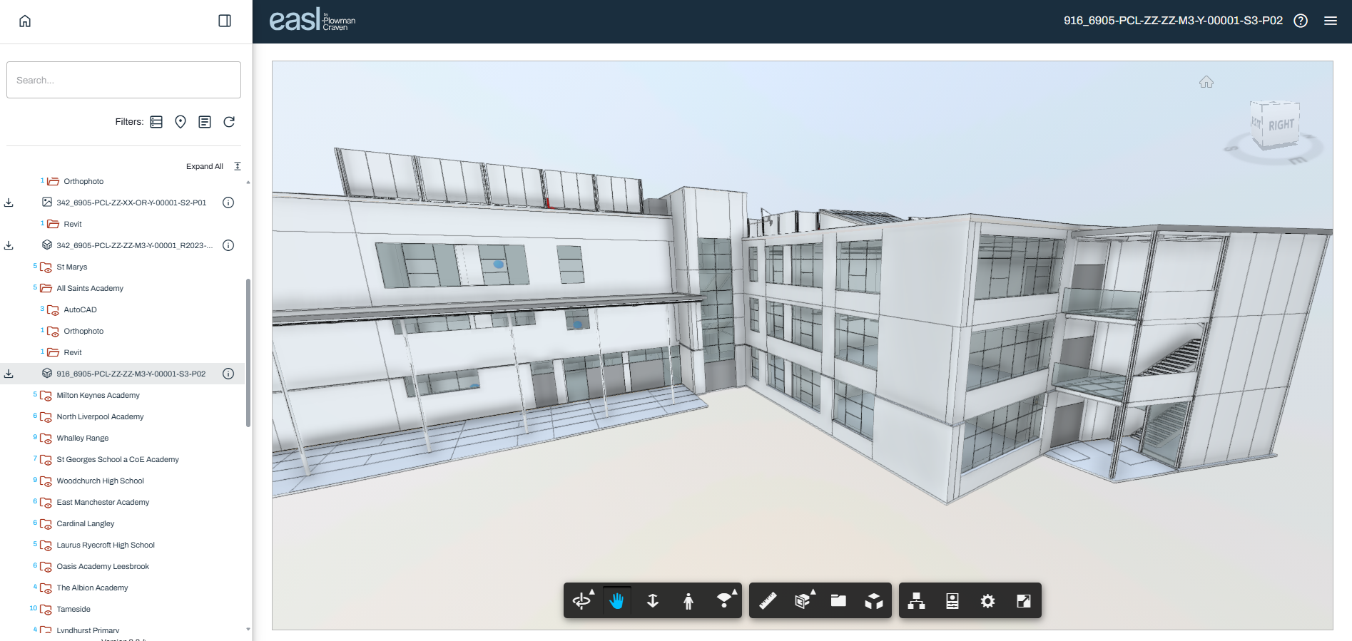
Project information was delivered through Easl, creating an accessible environment where stakeholders could visualise existing site and building conditions alongside the captured survey information.

Detailed roof capture and orthophotos helped consultants understand roof configuration, condition and available space when assessing opportunities for photovoltaic installations.
Point clouds, 360° imagery, orthophotos and digital models created detailed baseline records that could be revisited remotely, reducing reliance on additional surveys and site attendance.
Easl brought survey, model and asset information together in one accessible digital environment, helping different project disciplines work from consistent information.
The resulting digital records have value beyond the
immediate net zero programme, providing information
that can support future energy management,
maintenance, refurbishment and estate planning.
Plowman Craven surveyed and digitised approximately 15 secondary schools and colleges across Manchester, alongside a further four schools in the south of England.
The resulting digital information provided project stakeholders with the building and site intelligence required to develop individual net zero strategies and assess practical energy-saving interventions, including photovoltaic installations.
By combining UAS and ground-based capture with digital modelling, asset information and Easl visualisation, Plowman Craven created more than a series of survey deliverables.
The programme established a reusable digital foundation for understanding each education estate and supporting informed investment decisions.
The approach demonstrates how geospatial data can become a practical digital asset for decarbonisation, helping project teams move from understanding existing conditions to planning meaningful net zero interventions across multiple sites.