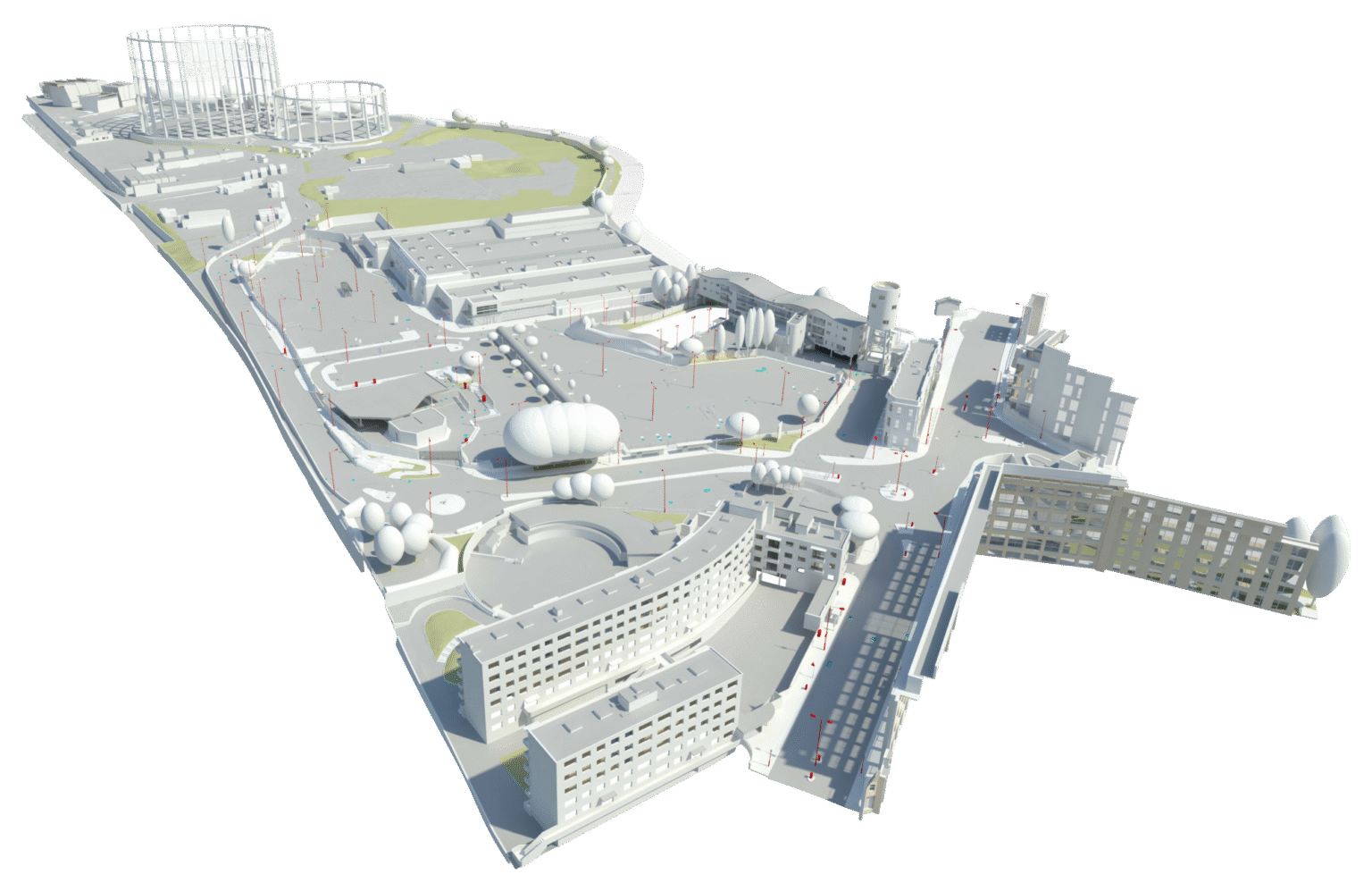
Every asset.
Total clarity.
One platform.

An intelligence environment for every asset in your portfolio, built on sixty years of active geospatial expertise.

The data exists. The problem is finding it, trusting it, and acting on it.

Managing built assets means making high-stakes decisions based on data that is often incomplete, inconsistent or out of date.

Decisions delayed because no one can locate the definitive record.

Re-surveys commissioned when existing data can't be trusted.

Compliance audits complicated by data that can't be verified.

Risk carried silently, no current view of condition across the portfolio.

Easl changes this.

One secure, well-governed environment for every asset in your portfolio.

Organised and visualised by the platform. Managed by Plowman Craven's geospatial specialists, whether they captured the data or not. Accessible to every stakeholder who needs it.

What Easl delivers

A record you can rely on

When your asset data is hosted in Easl, it sits within a structured, governed environment managed by geospatial specialists who understand what it means. Where data has been captured or reviewed by Plowman Craven, it is verified and ready to act on. When a compliance audit arrives or a transaction requires due diligence, you have something you can stand behind.

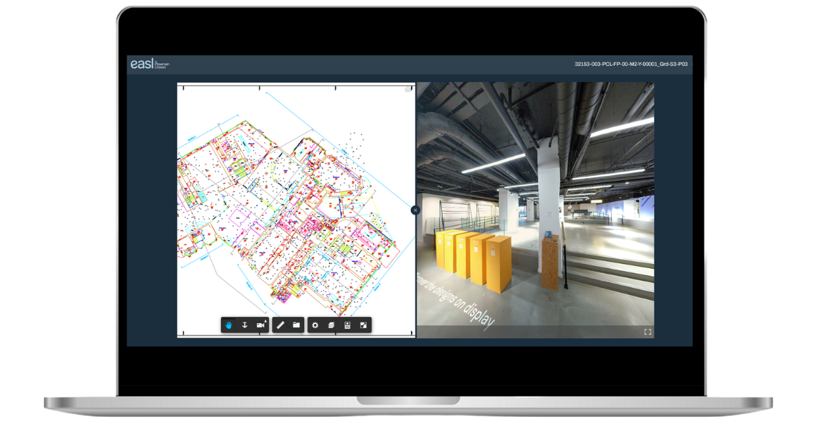
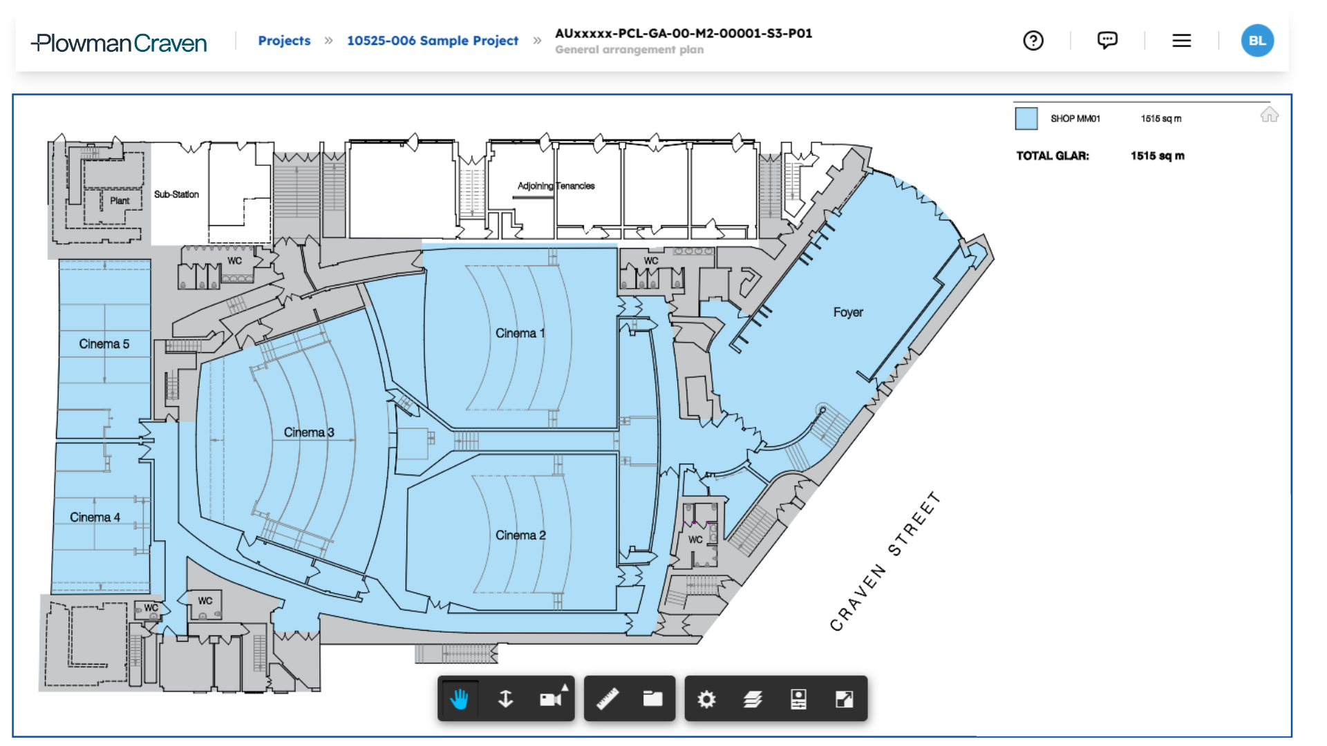
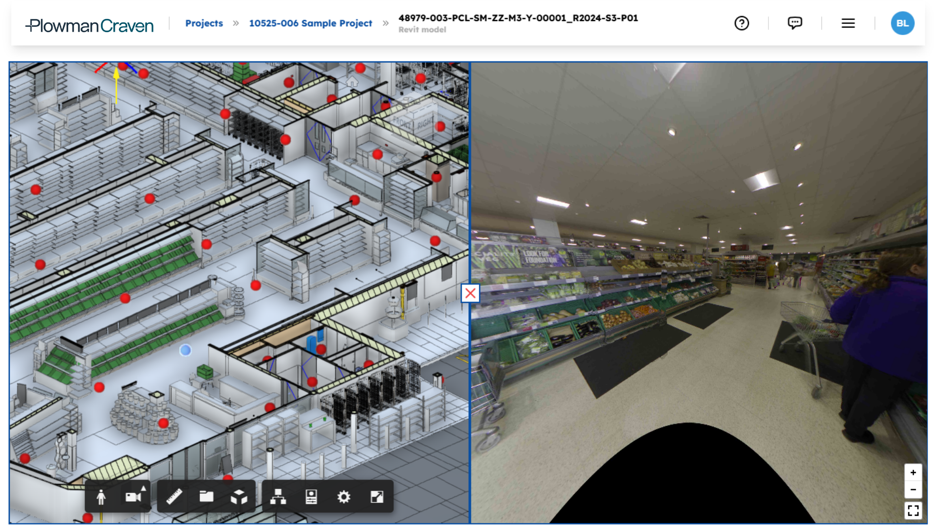
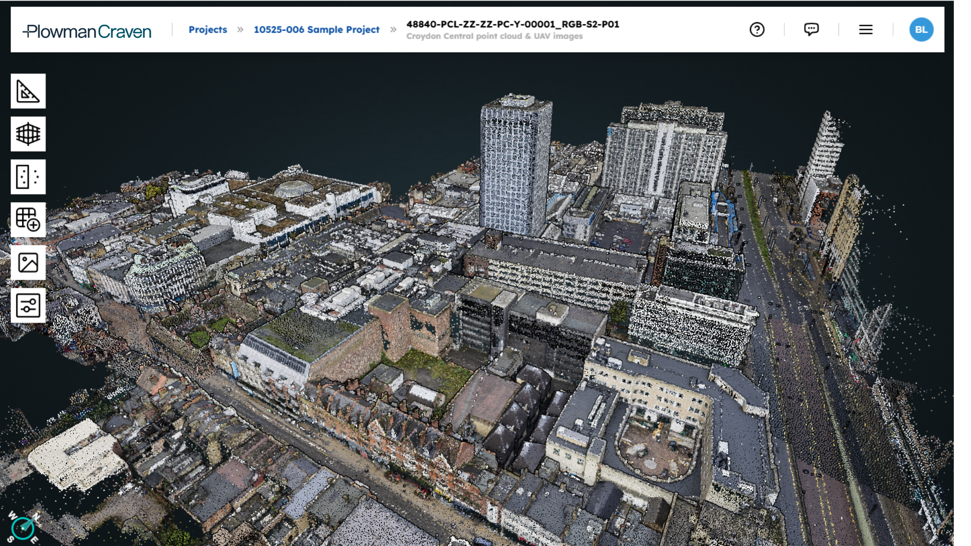
Every geospatial dataset for every asset on a single screen. Condition, compliance, maintenance history and spatial data, no specialist software, no separate logins.

No more chasing the latest survey version. No more re-commissioning work because records can’t be found. Plowman Craven keeps it governed, structured and accessible.

Easl keeps asset data live, governed and accessible across the full lifecycle, so your investment in survey work continues to deliver value long after the project ends.

See it in action.

Everything you need to know in under 2 minutes.

There are digital asset management platforms. What makes Easl different is what sits behind it.

Plowman Craven’s surveyors, digital engineers and inspection teams are the geospatial specialists who structure, govern and interpret the data inside Easl. When something in the platform does not reflect reality, the expertise to identify and address it is already part of the service. When an asset needs a new survey to bring its record up to date, Plowman Craven can go and capture it.

Open
by design.

Hosts and structures geospatial data from any provider, not just Plowman Craven captures.

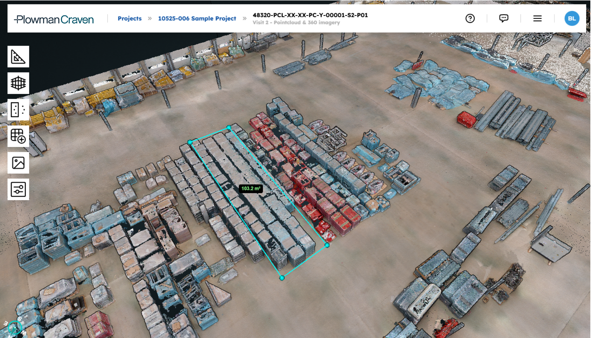
Measure and compare directly.

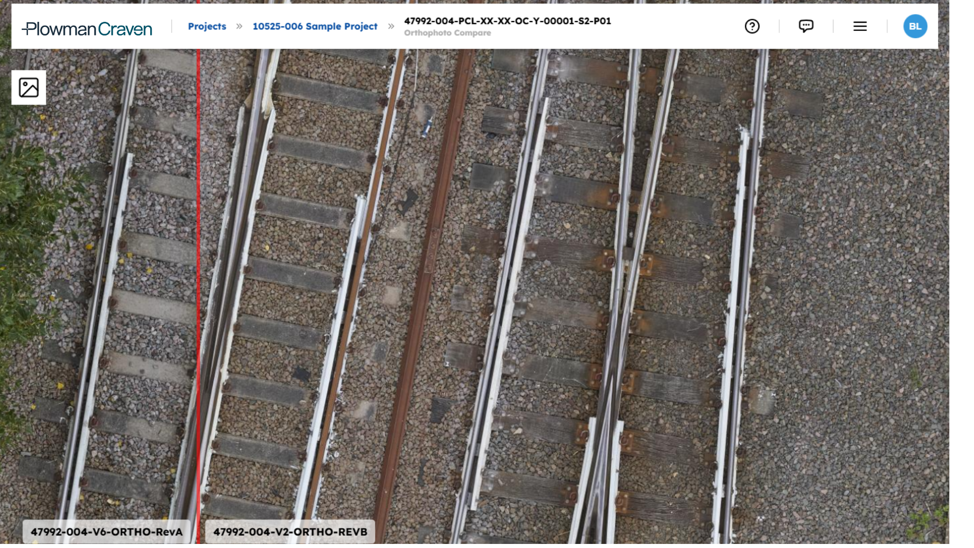
Take measurements from models and orthophotos, and compare design intent against real-world conditions.

Full audit trail and access control.

Every record, update and access is logged, defensible in any audit or transaction.

Built to scale and integrate.

Compatible with CAD, BIM, LiDAR, CAFM, BMS and GIS across portfolios of any size.

30 +

years of active surveying

100 +

specialists

1 K+

projects completed

Built for the people who manage complexity.

Whether you own the assets, manage them on behalf of others or work alongside those who do, the challenge is the same.

What Easl can do
for your portfolio.

The following outcomes are based on typical scenarios for organisations working with Plowman Craven’s geospatial data and Easl. They are indicative of the value the combination can unlock. Actual impact will vary depending on asset type, data availability and implementation.

Up to

0 %

faster decision making.

Centralised, structured data reduces the time spent locating and cross-referencing information. Maintenance planning, compliance reporting and investment cases all move faster.

Up to

0 %

reduction in site visits.

Remote access to well-structured, current asset data replaces routine physical inspections, reducing cost, carbon footprint and health and safety exposure.

Up to

0 %

reduced re-survey spend.

When asset data is well-organised and accessible, regardless of who captured it, organisations commission fewer repeat surveys. Investment in survey work retains its value.

An organisation that reduces site visits by 25% across a portfolio of 10 assets typically recovers the equivalent of one full-time role in productive capacity within the first year.

Easl, at work.

From major estate portfolios to complex infrastructure programmes, see how Easl works on real assets.

Bring one asset. We will show you what it looks like in Easl.

Managed by software. Backed by surveyors.

Book a 30-minute working session with one of our geospatial specialists.

Your assets, your data, your specific situation, and if you have legacy survey data sitting unused, bring that too.