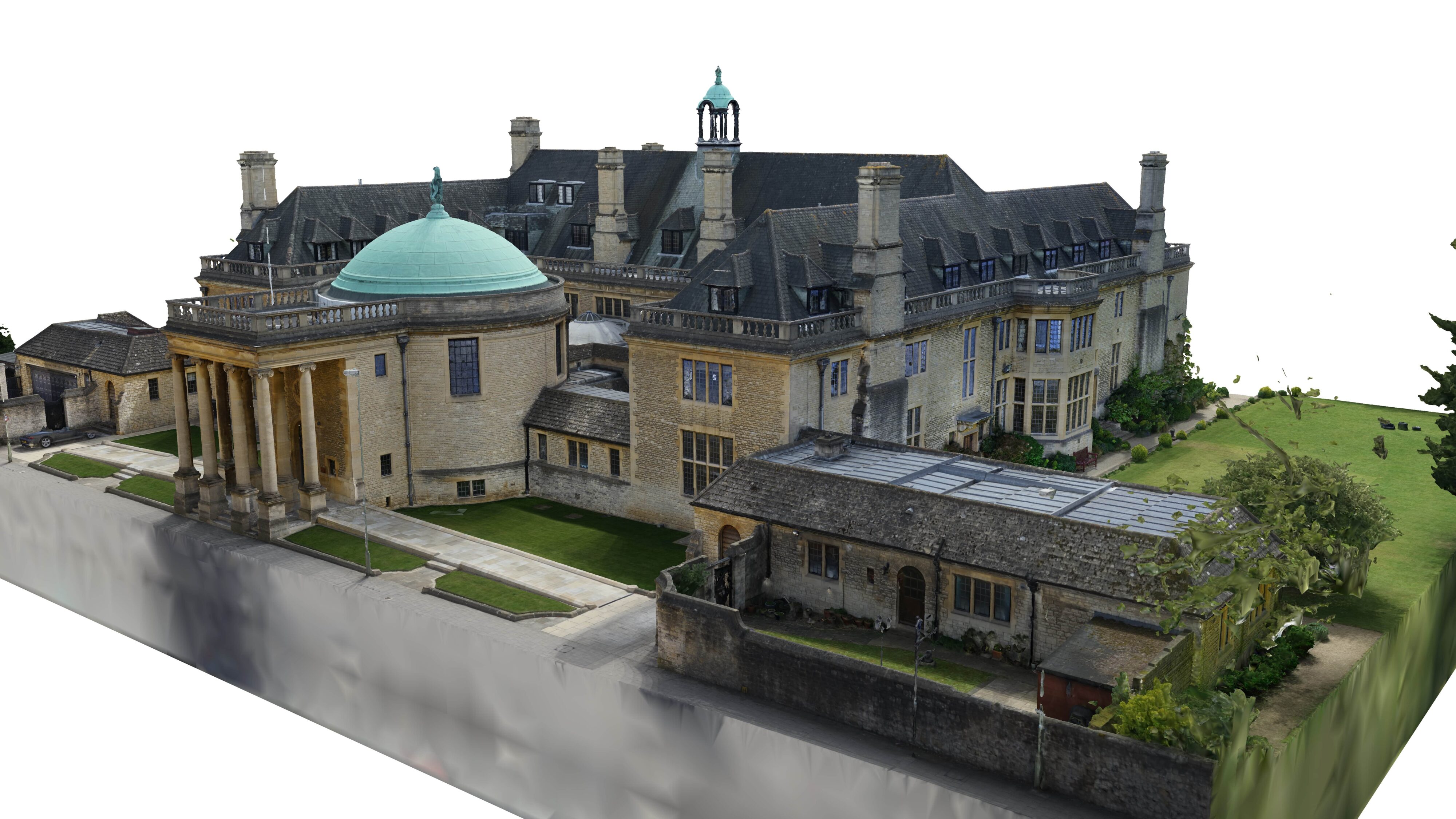
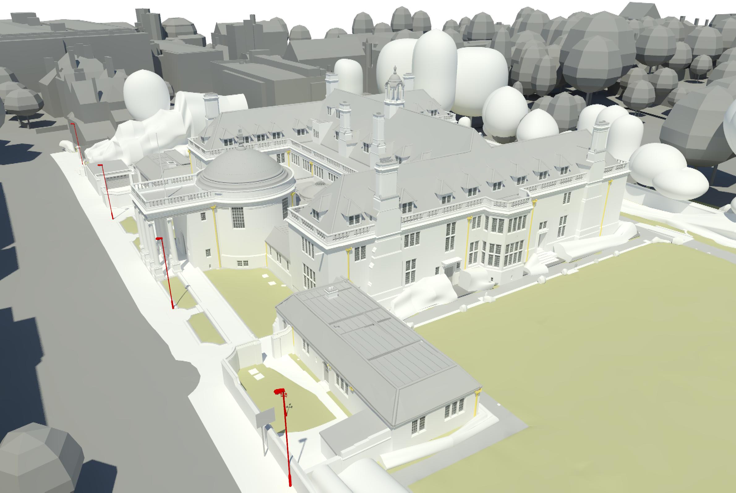
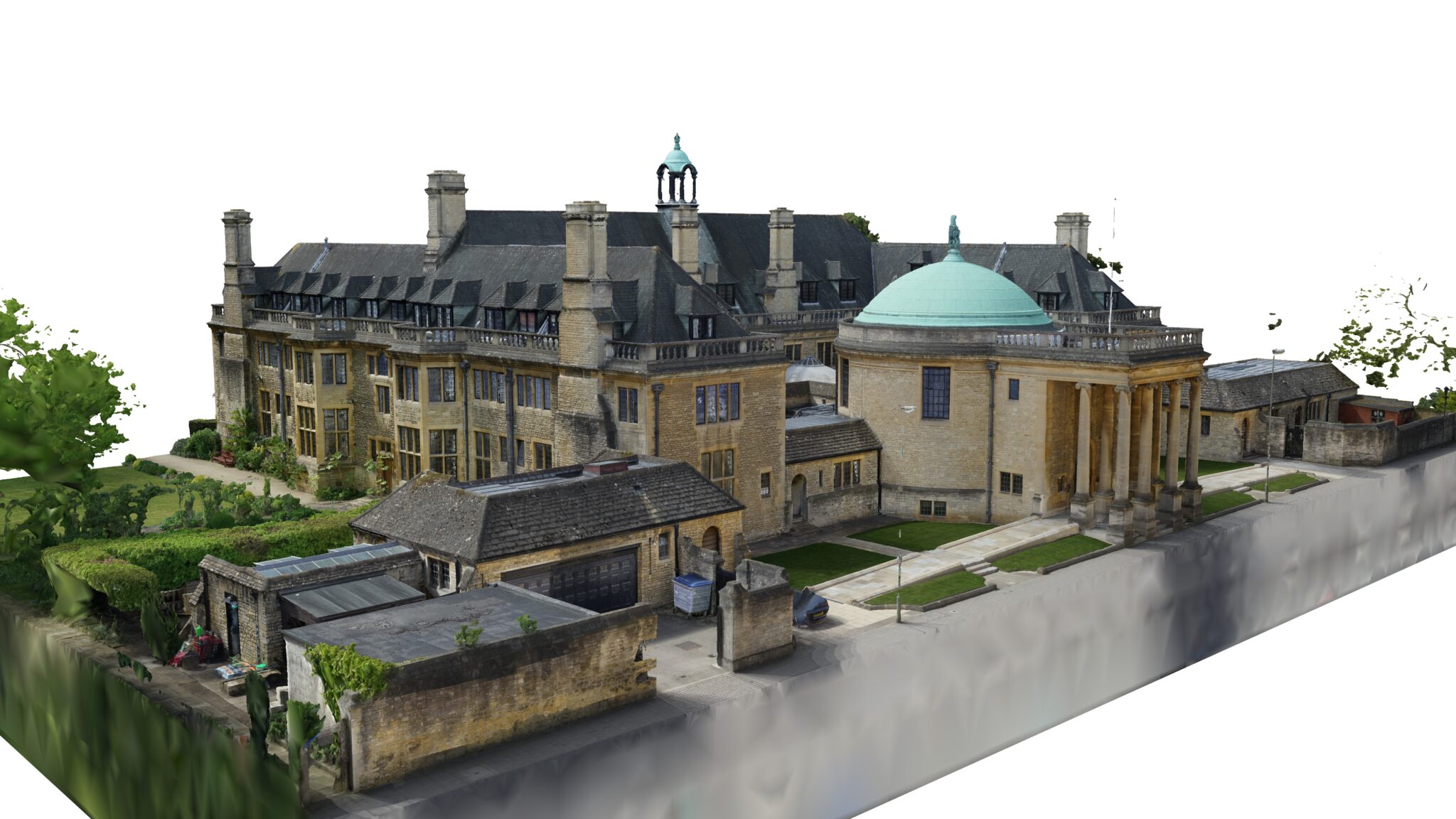
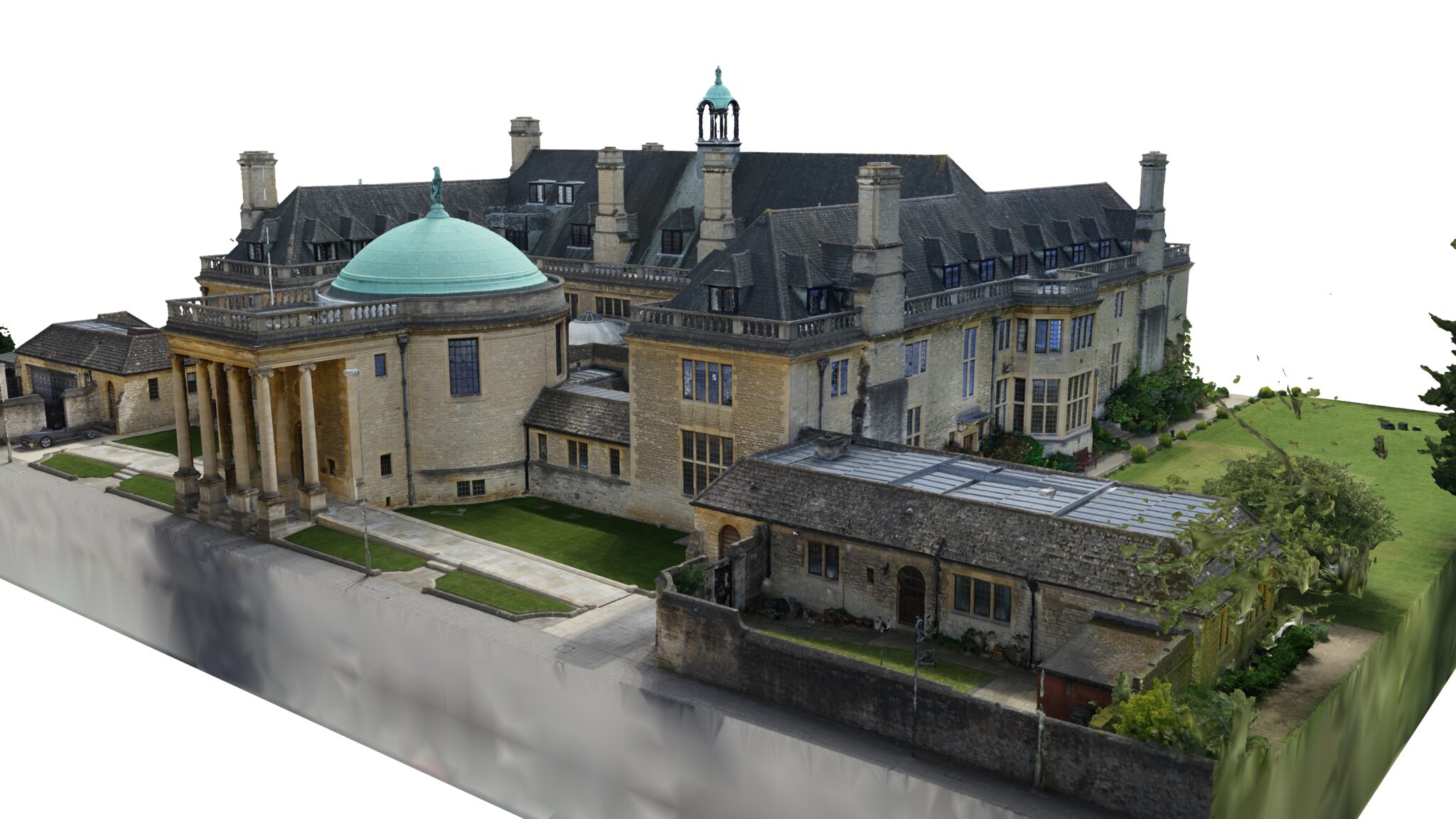
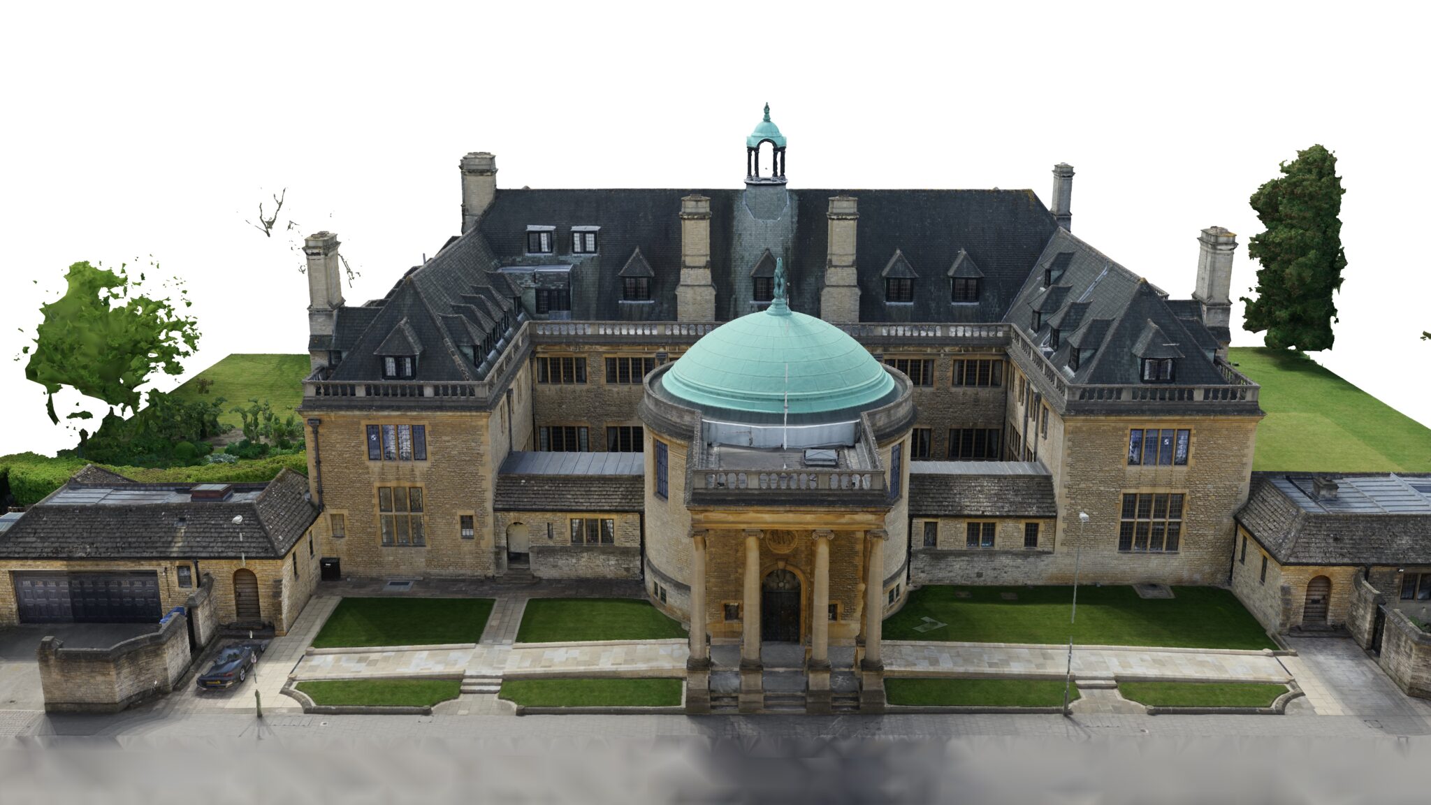
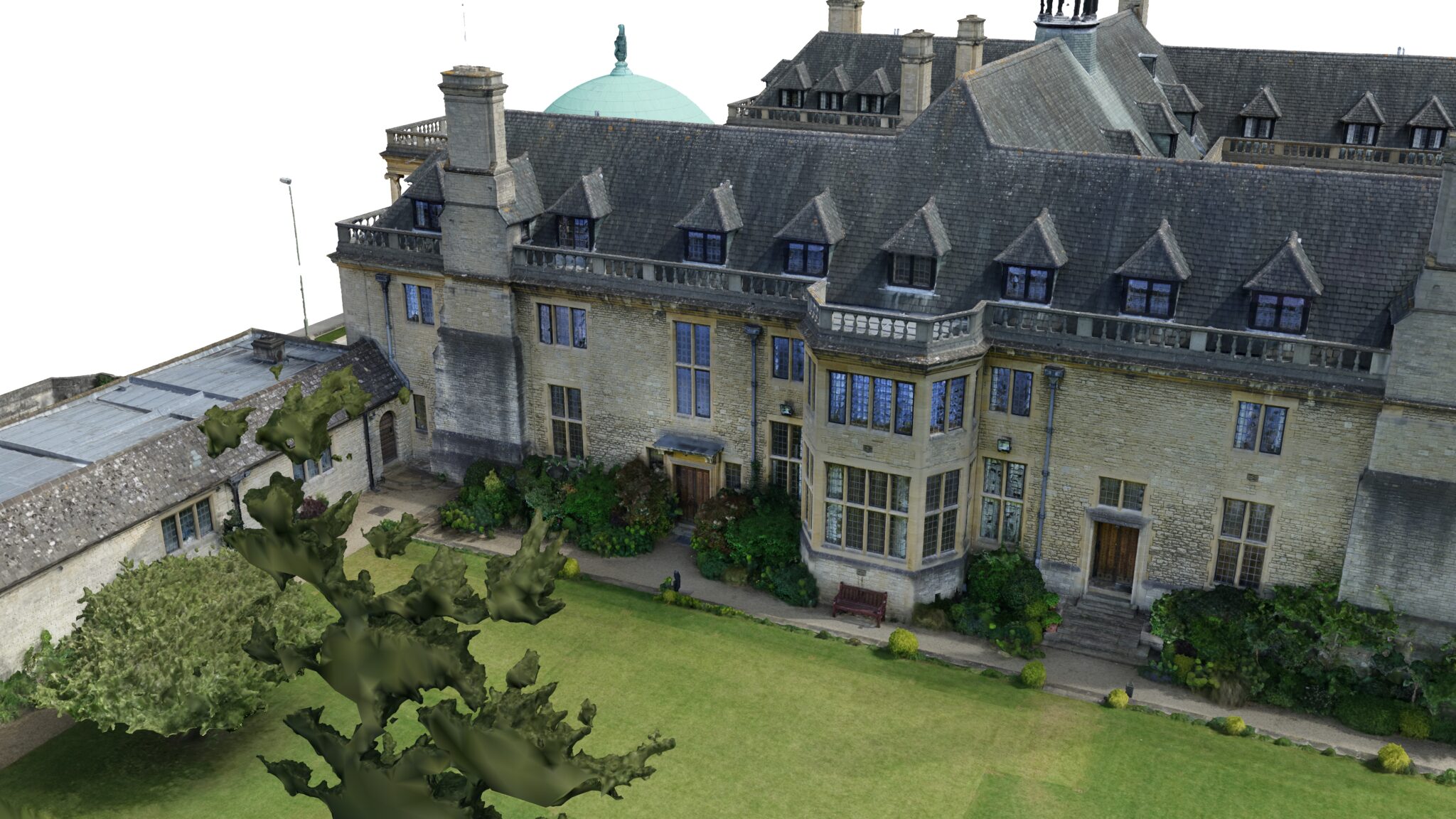
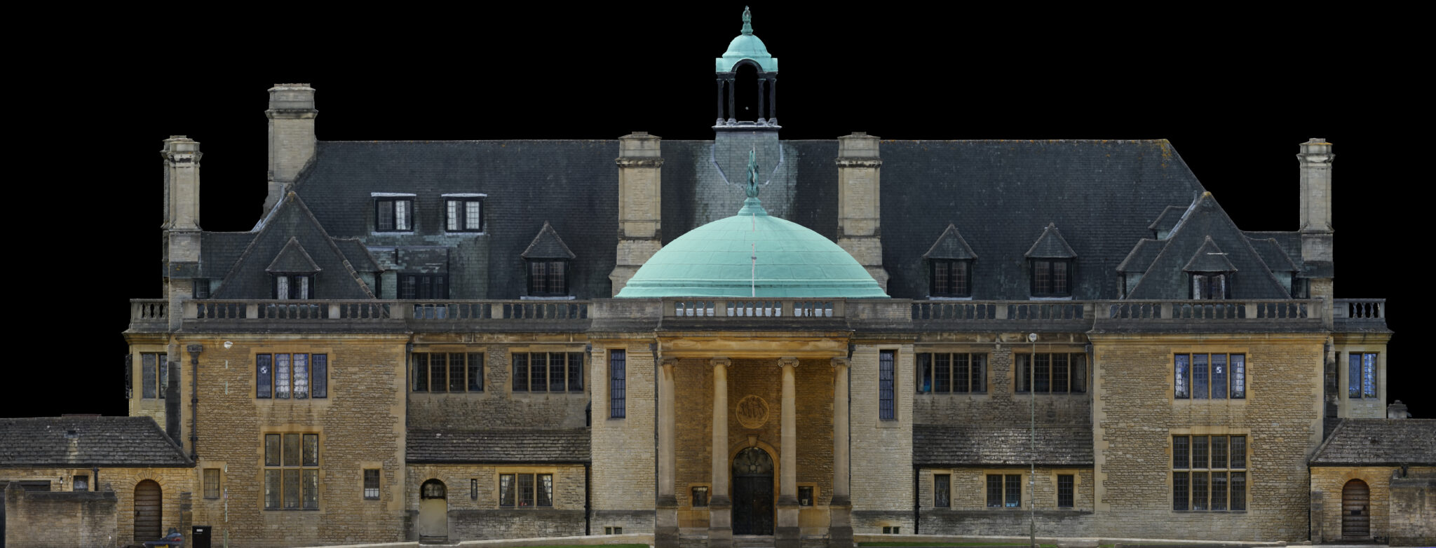
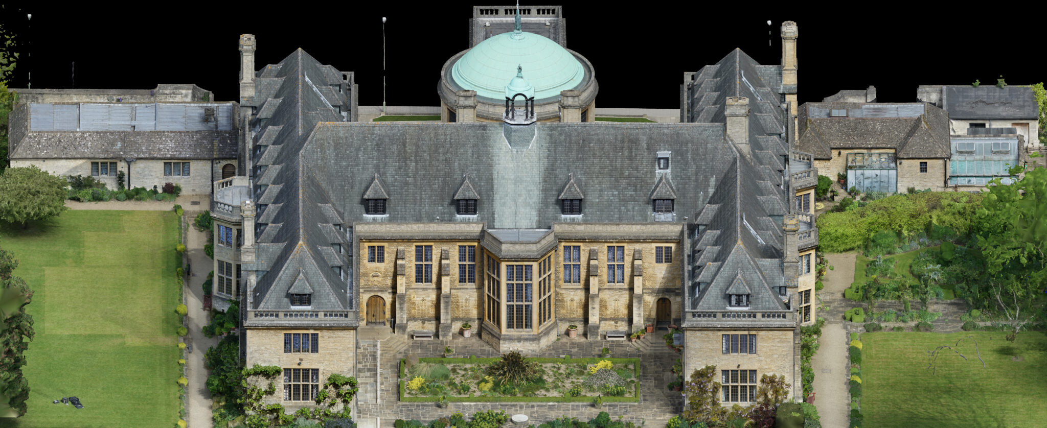
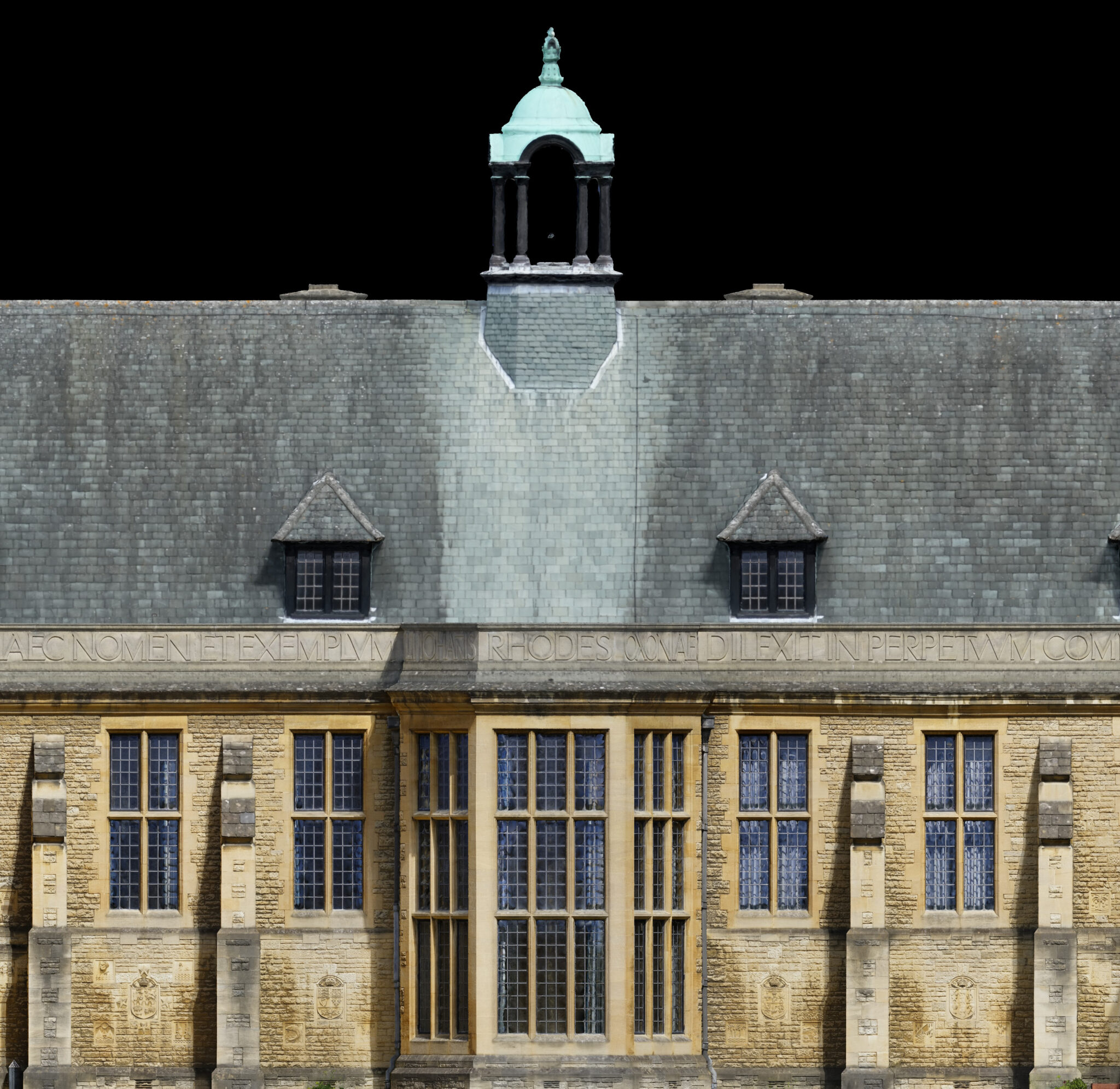
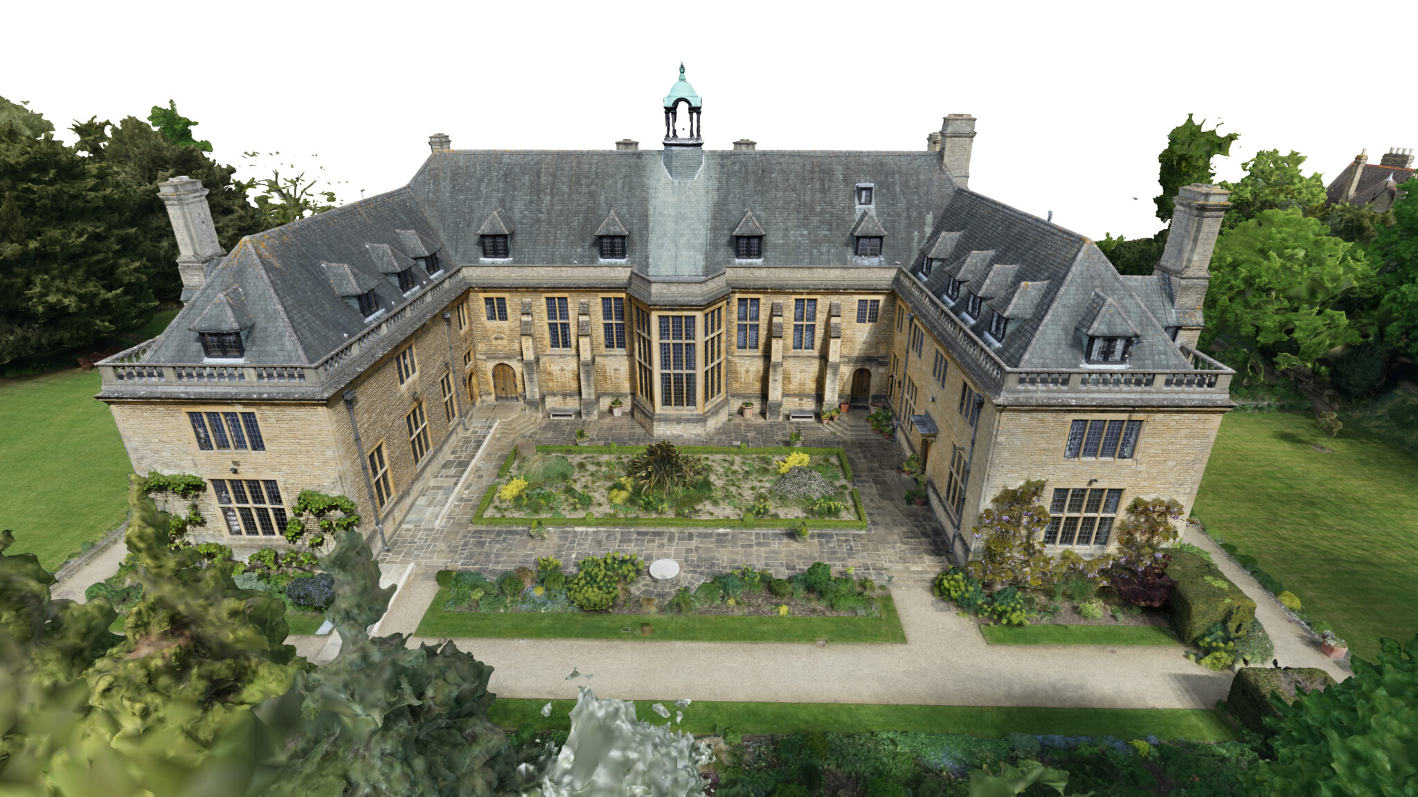
Rhodes House is a Grade II listed architectural landmark in central Oxford and home to the Rhodes Trust and the world-renowned Rhodes Scholarships. As a historic convening space for scholars and global leaders for nearly a century, the building required sensitive refurbishment alongside a contemporary extension to enhance academic, residential and event facilities.
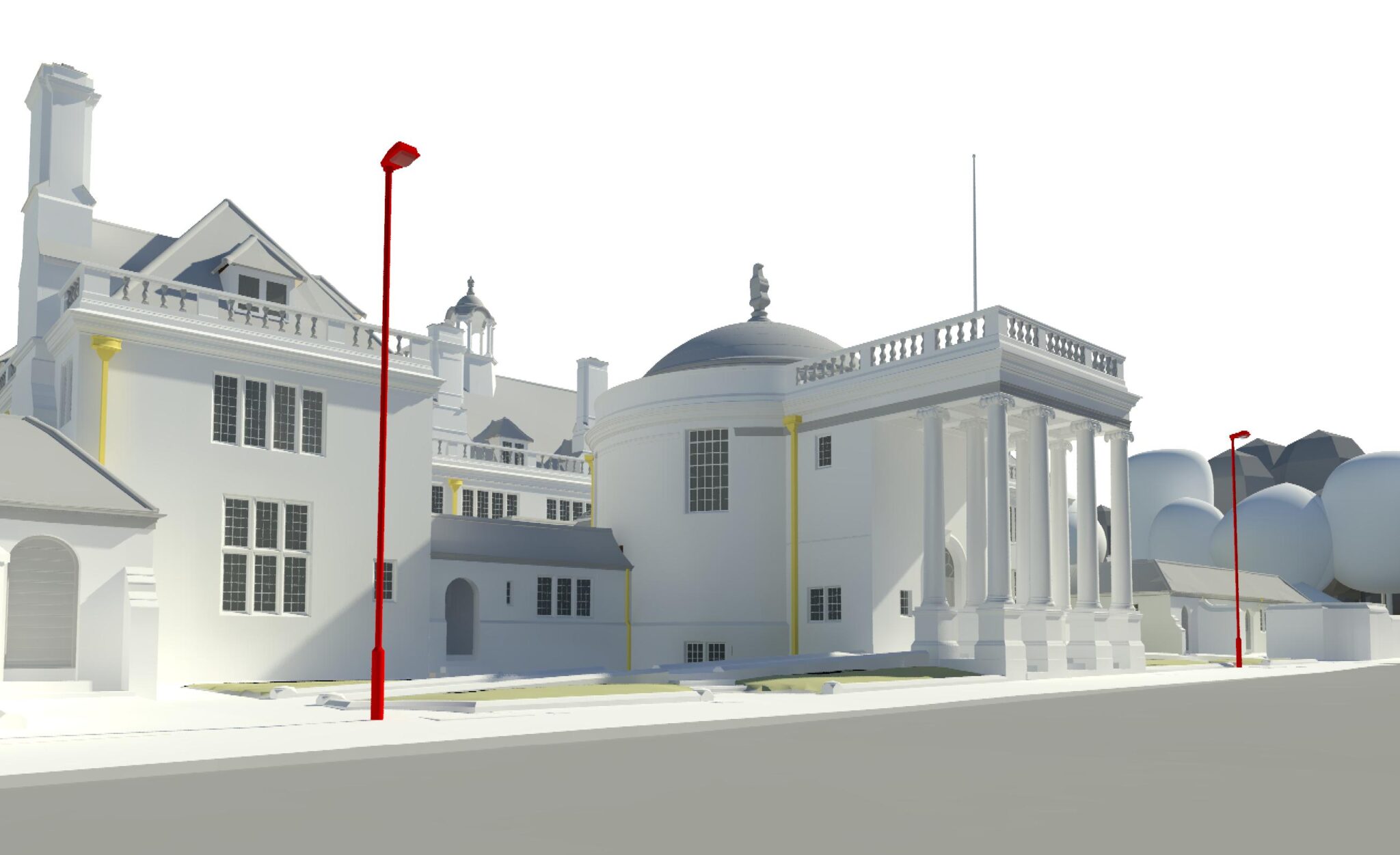
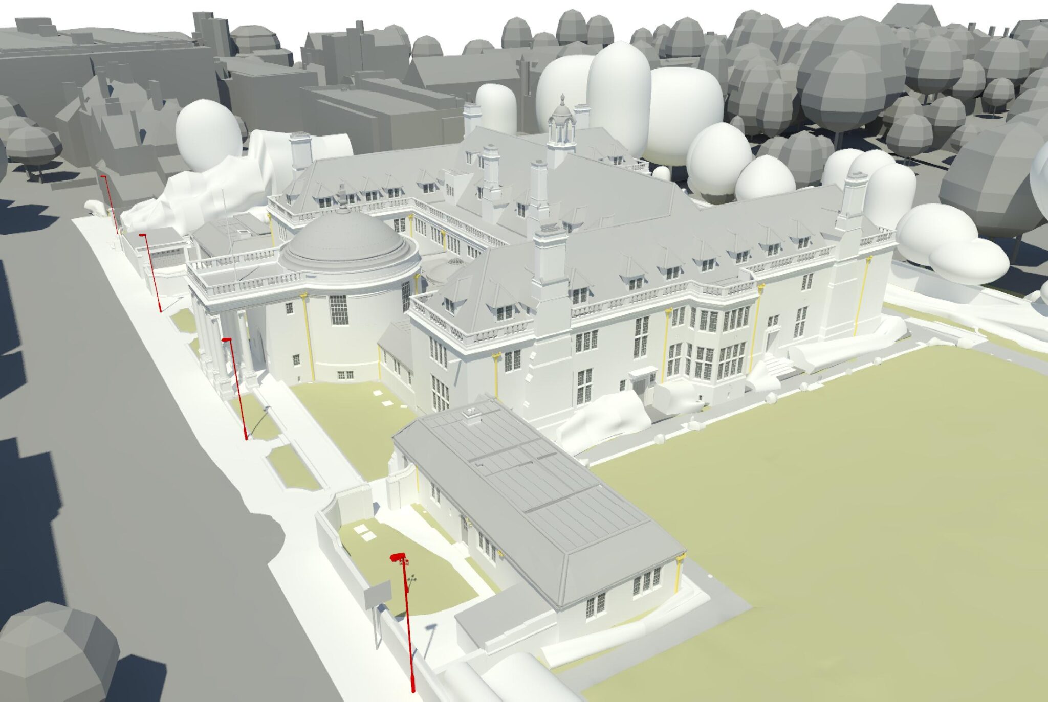
The Rhodes Trust appointed Stanton Williams to lead the redevelopment. Plowman Craven was engaged to deliver a highly accurate LOD4 BIM model of the existing building and surrounding environment, providing a single source of truth for design coordination, planning and visualisation.