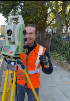
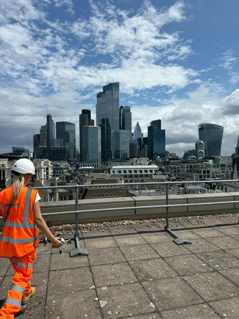
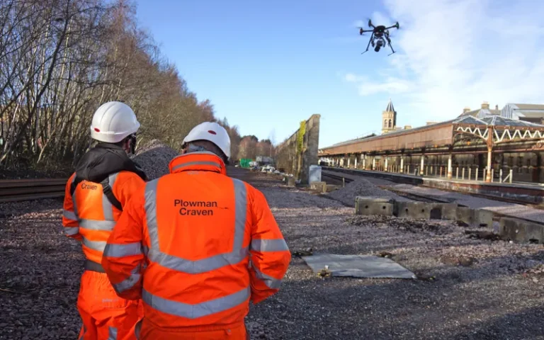
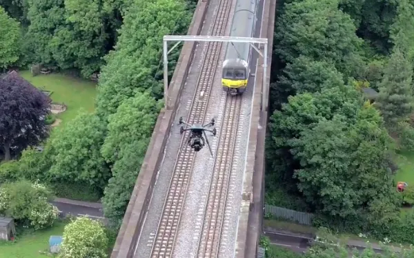
Digitising the physical world to understand it better.
Our geospatial insight and surveying services span multiple disciplines to help you shape assets that create safer environments, stronger communities and enduring value. No matter where you are.
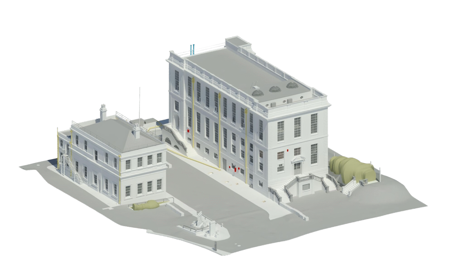
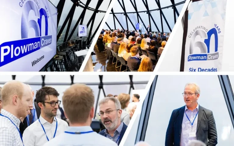
With 60 years’ experience using cutting-edge tech and multi-disciplinary expertise to deliver precise data, we’re the end-to-end partner who delivers total geospatial clarity on every project – anywhere, at any scale.
Digitising one of the world’s most iconic radio telescopes, at the cutting edge of astrophysics since 1957.
“Plowman Craven’s ability to provide a ‘one-stop shop’ for all surveying needs made the process efficient and seamless, and we now have the essential data we need for planning applications moving forward.”
Don’t just take our word for it. Here’s what people like you have to say.
TPS Project Management
Having provided us with a quote to undertake the work several years before it was required, when it came to commencing the surveys at the second and final phase of the Lewisham Gateway development, Plowman Craven acted very quickly.
K. Briggs
Amazon UK Services Ltd
We have always received excellent service from Plowman Craven, from Director level to the Surveyors and BIM Modellers. Everyone I have interacted with has always been professional, knowledgeable and incredibly helpful.
L. Courtnell
ARJ Construction Ltd
Given the awkward circumstances and delays with permits, everything went very smoothly and there was very little for us to manage, which was incredibly helpful.
D. Evans
Taylor Wimpey
I must say how pleased I am with the amount of surveys carried out to date in such a challenging area. Thank to your team for their patience and professionalism.
A. McInnes
The Pulse.
Stay up-to-date with the latest at Plowman Craven.