A long-term geospatial partnership delivering trusted, continuously evolving data to support one of Europe’s most complex urban regenerations.
King’s Cross Central is a landmark 67-acre regeneration that has transformed a formerly industrial, rail-dominated area into a globally recognised mixed-use district. Delivered over more than 15 years, the programme required careful coordination of live rail infrastructure, heritage assets, new commercial and residential development, and extensive public realm.
Plowman Craven has been involved since the earliest stages, beginning in 2002 with the establishment of the original survey control grid at King’s Cross Station. Since then, we have supported the project through planning, design, construction and into long-term estate management as a trusted, long-term geospatial partner.
The scale and duration of King’s Cross Central required a coordinated and dependable approach to spatial data. Rather than a series of isolated surveys, Argent needed a single, accurate spatial foundation that could be shared across numerous architects, engineers and contractors and remain relevant as the project progressed.
The project environment introduced significant complexity: live rail corridors, tunnels and utilities, listed buildings, constrained access and tightly phased construction. Survey data needed to be accurate, rapidly deployable, reusable across multiple stages and robust enough to support commercial decisions, planning approvals and construction assurance.
A coordinated, lifecycle-led geospatial solution delivered by a single trusted partner. Rather than treating each commission independently, Plowman Craven implemented a master dataset approach, creating and maintaining a continuously updated digital baseline for the entire estate.
Estate-wide master dataset
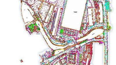
We established and maintained a definitive site-wide control network and digital record covering buildings, infrastructure, rail assets, tunnels and public realm. This dataset became the single source of truth for all stakeholders, ensuring consistency across disciplines and project phases.
Integrated survey and digital delivery
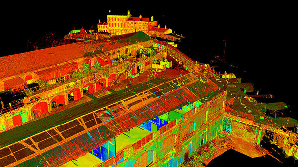
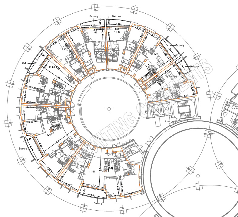
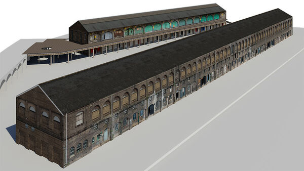
Our teams delivered 3D laser scanning, measured building surveys, infrastructure and rail surveys, underground utilities mapping, area referencing and heritage recording. These datasets were coordinated and correlated to support BIM models, 3D visualisation, rights-of-light assessments and verified as-built records.
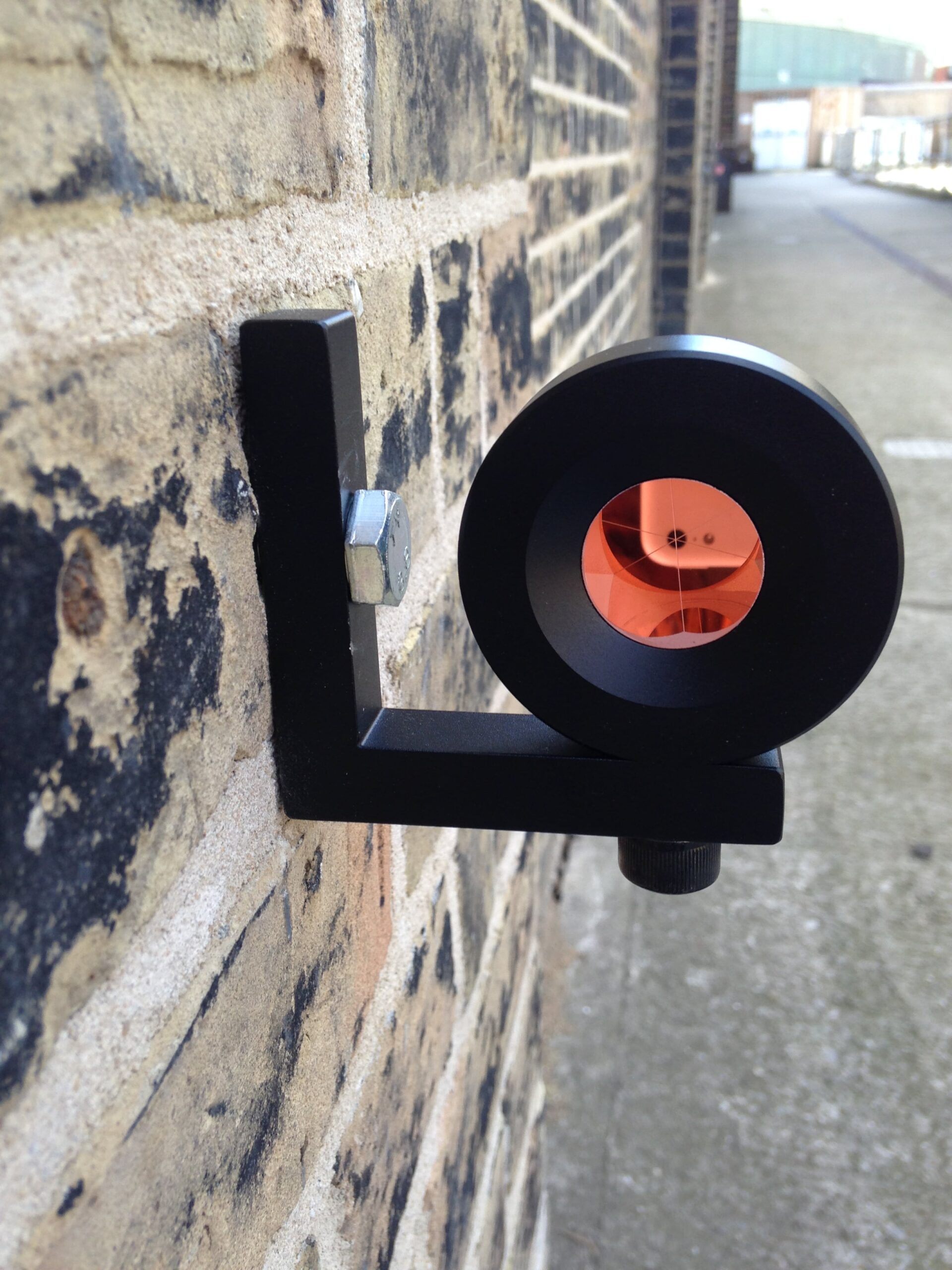
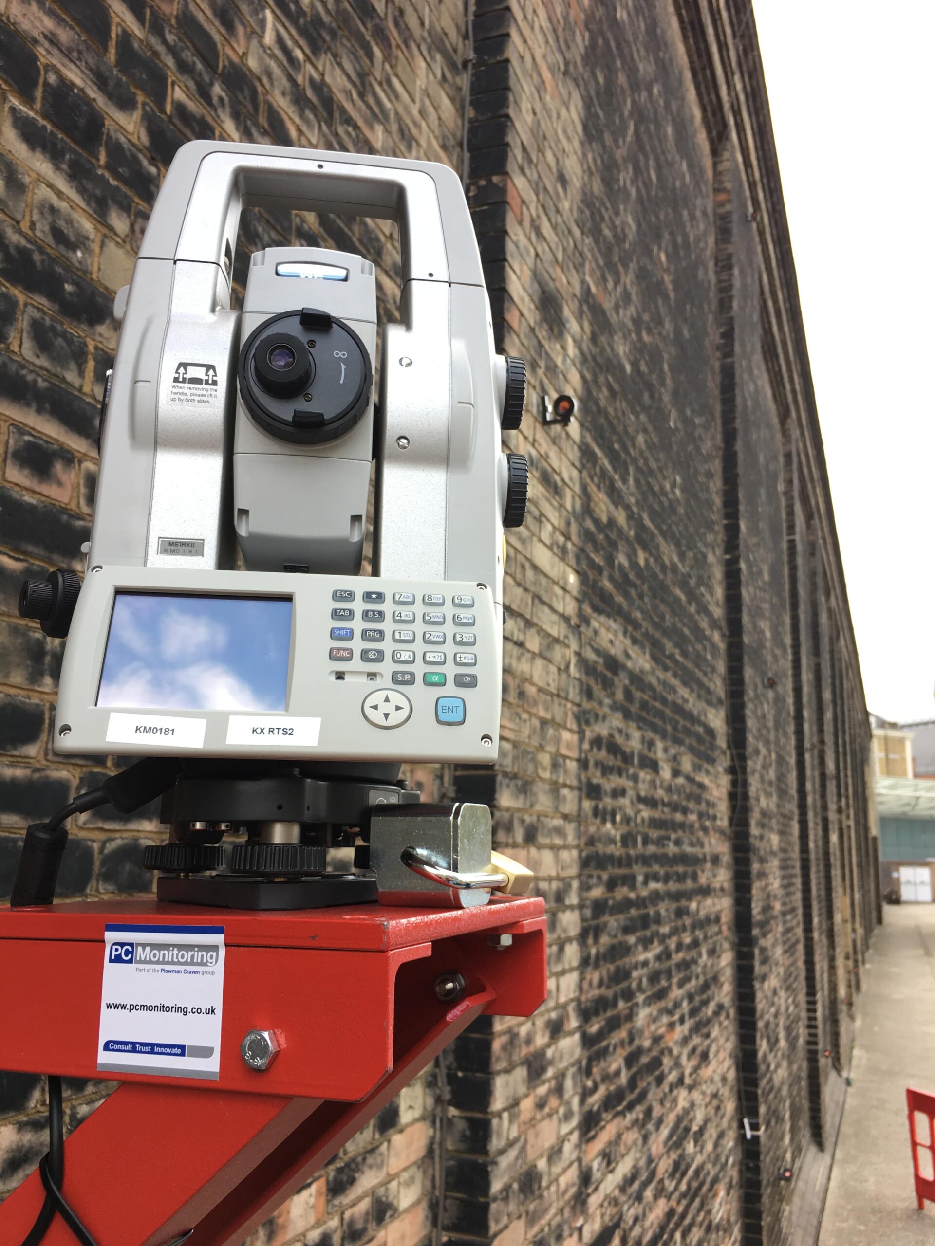
Monitoring and assurance in live environments
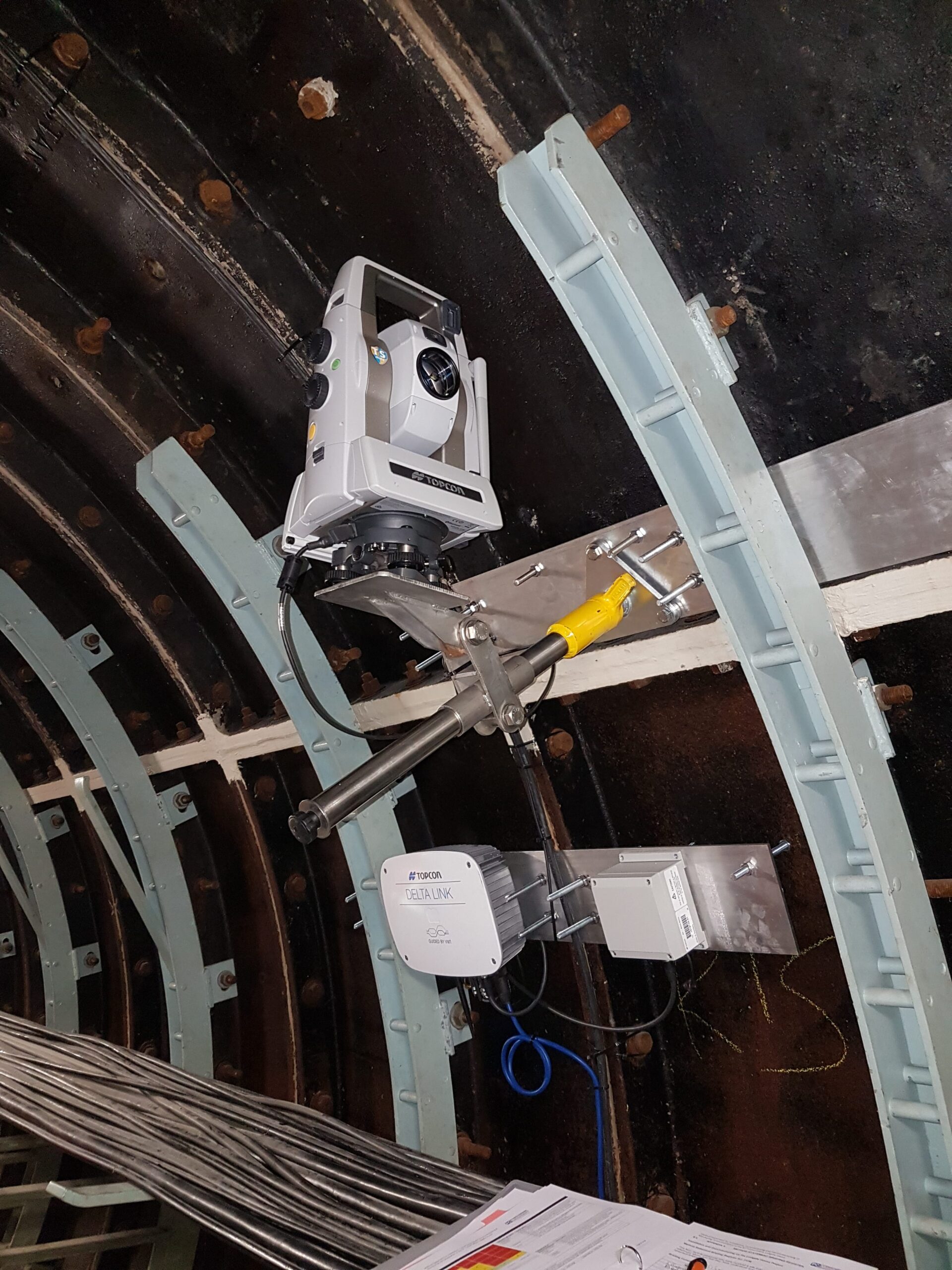
Across sensitive structures and active rail assets, we delivered manual and automated monitoring and correlation surveys. This provided continuous assurance during excavation, piling and construction, supporting safe delivery and protecting critical infrastructure.
Advisory-led data stewardship
Alongside technical delivery, we advised on data governance, reuse and integration. This reduced duplicated surveys, accelerated approvals and ensured information captured early in the programme continued to deliver value through later phases.
Long-term continuity of accurate, reusable spatial data supported collaboration, reduced risk and informed decision-making throughout the regeneration and beyond.
A shared, authoritative dataset enabled designers, engineers and contractors to work from consistent, verified information, improving collaboration and decision-making.
Accurate, defensible data helped prevent design clashes, protect live rail operations and avoid costly construction errors.
Reusing and updating existing survey data reduced repeat site work, minimised disruption and delivered significant programme and cost efficiencies.
The digital record created for King’s Cross Central continues to support estate management, future development and informed stewardship of the site.
“It’s impossible to put a price on what has been prevented by knowing and being able to understand the site so well — and that’s why we value the input and guidance of Plowman Craven.”
Plowman Craven’s long-term involvement helped underpin the successful delivery of one of the UK’s most complex regeneration programmes. By providing continuity, accuracy and insight over more than two decades, we enabled confident decision-making, safeguarded critical infrastructure and created a digital asset that continues to deliver value well beyond construction.
King’s Cross Central stands as a defining example of how trusted geospatial clarity, applied consistently over time, can shape successful, resilient places.