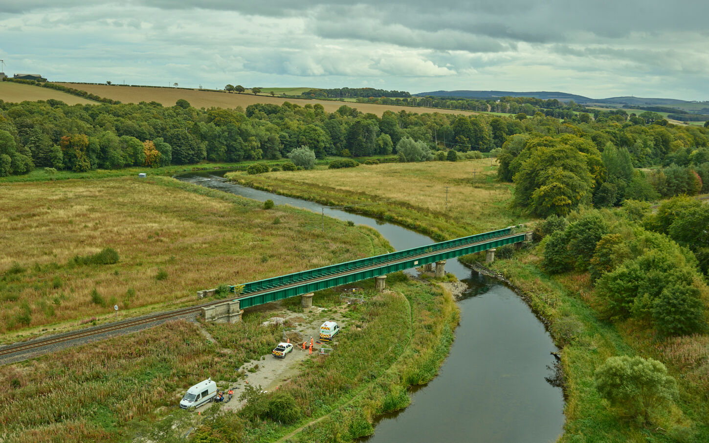
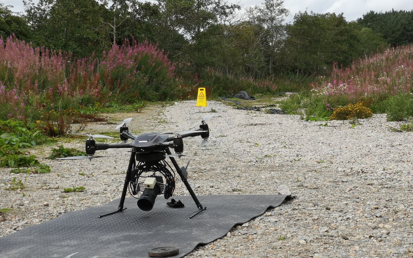
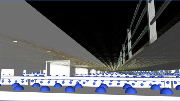
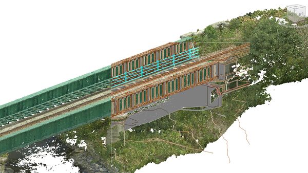
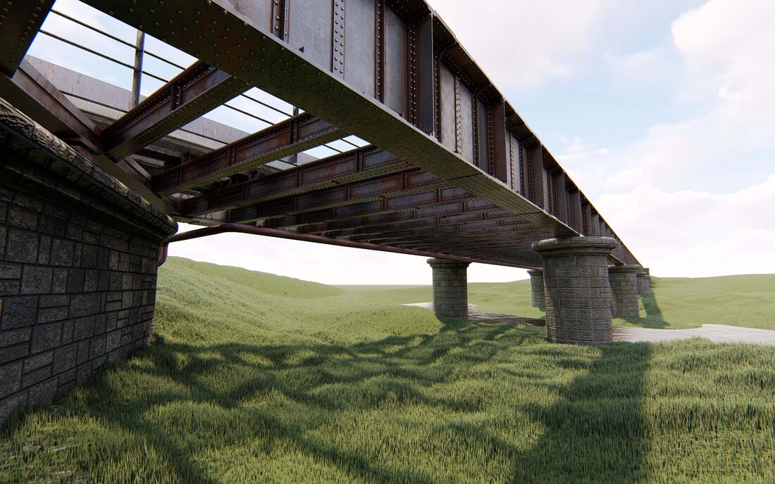
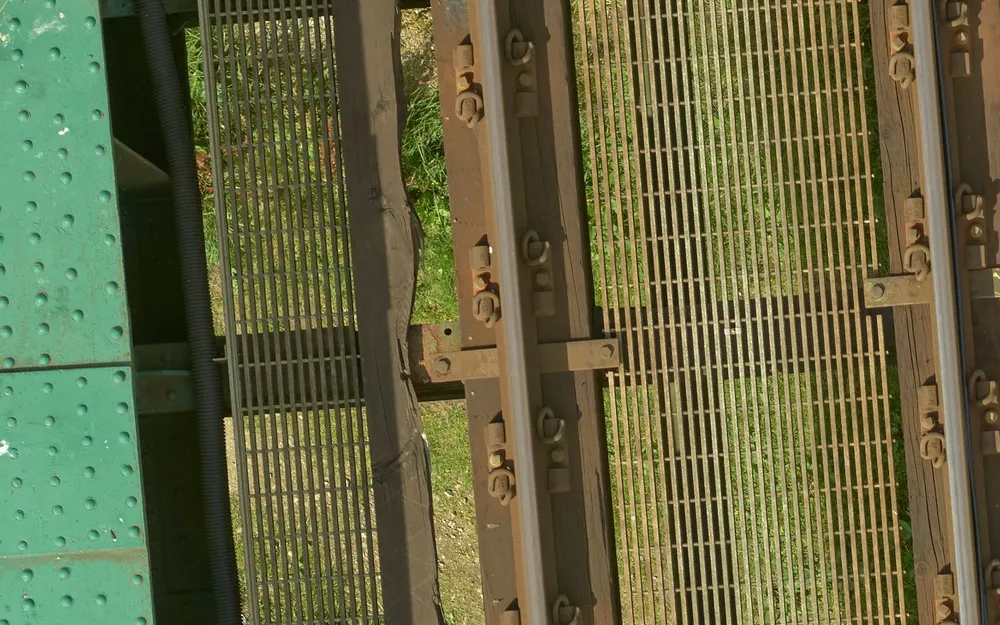
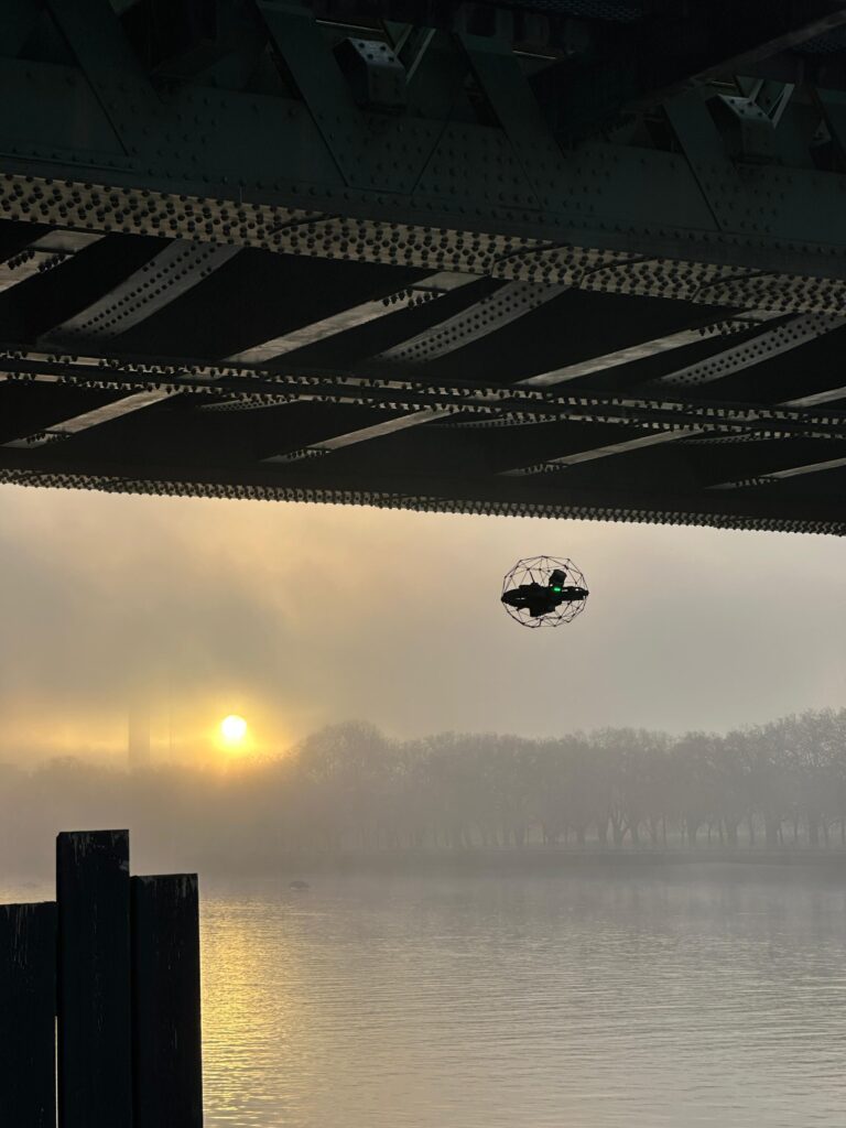
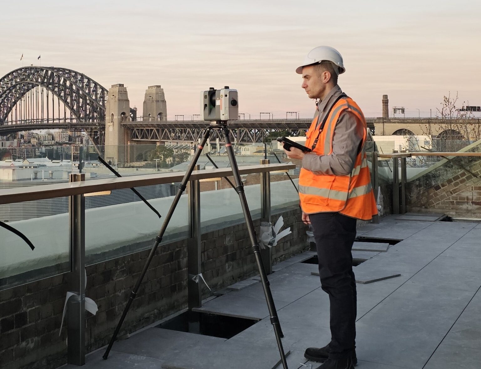
Plowman Craven deployed a combined UAS and terrestrial surveying methodology to deliver full structural and environmental capture without interrupting rail operations. The Vogel R3D UAS system was used to record the viaduct and surrounding landscape to sub-5 mm accuracy, while terrestrial laser scanning provided detailed coverage beneath the structure, including piers, abutments, and river-interface elements.
Survey data from both platforms was registered into a unified, high-density point cloud to support engineering-grade modelling and eliminate the need for repeat access. The team then produced a detailed Revit BIM model of the bridge, riverbanks and adjoining infrastructure, classifying every visible component to support interrogation, planning and asset management.
Key elements included:
- High-accuracy UAS survey to capture elevations, structure, rail alignment and surroundings safely and rapidly
- Terrestrial laser scanning to record under-bridge detail, pier geometry and constrained areas not visible from the air
- Data fusion and point cloud management to create a single, verified dataset
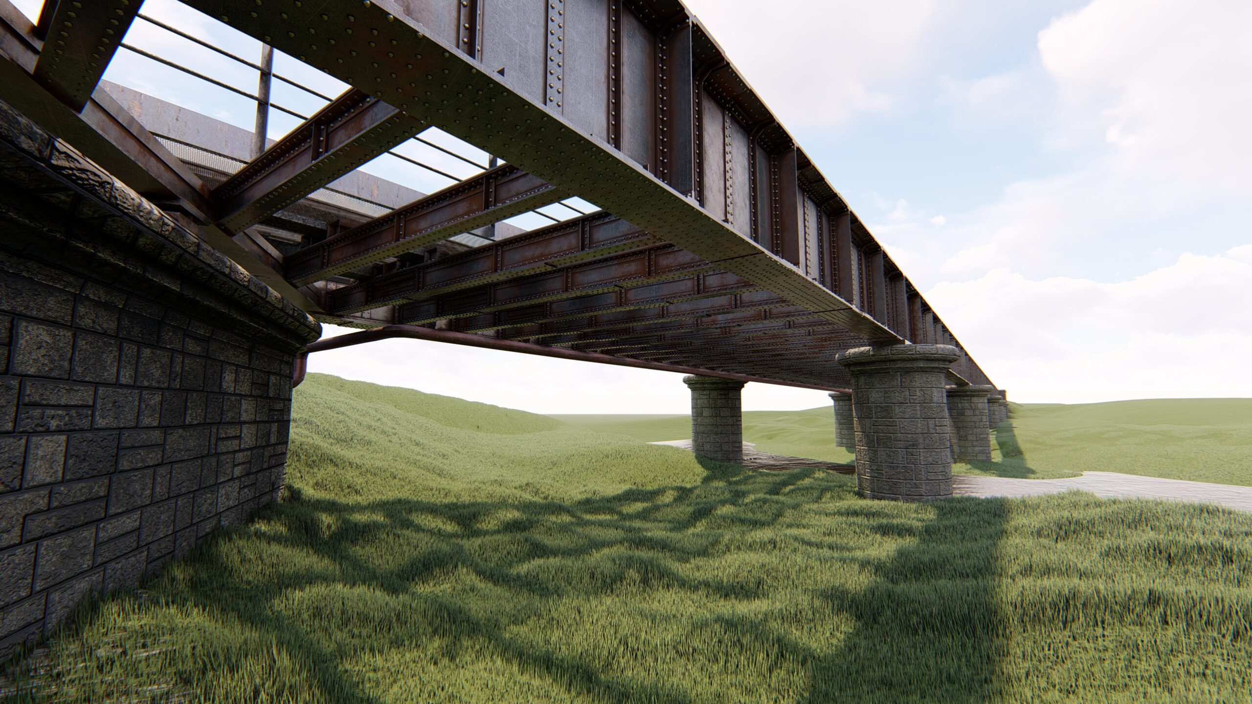
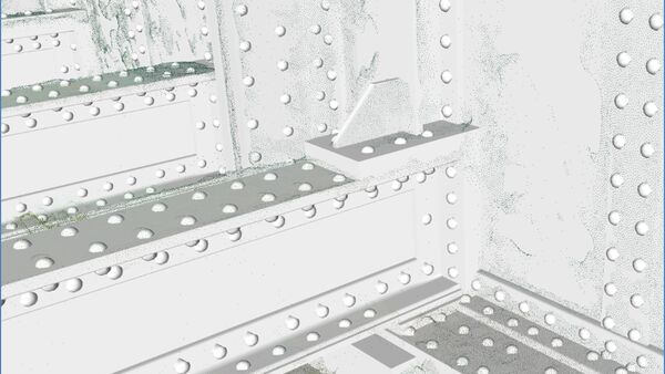
- Revit BIM model including structural members, fixings and all 80,000 rivets for detailed interrogation
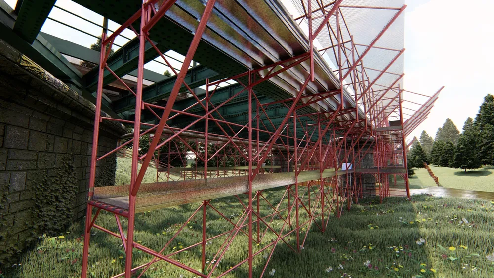
- Scenario planning models, including scaffold bridge mock-ups, clearances and temporary works evaluations
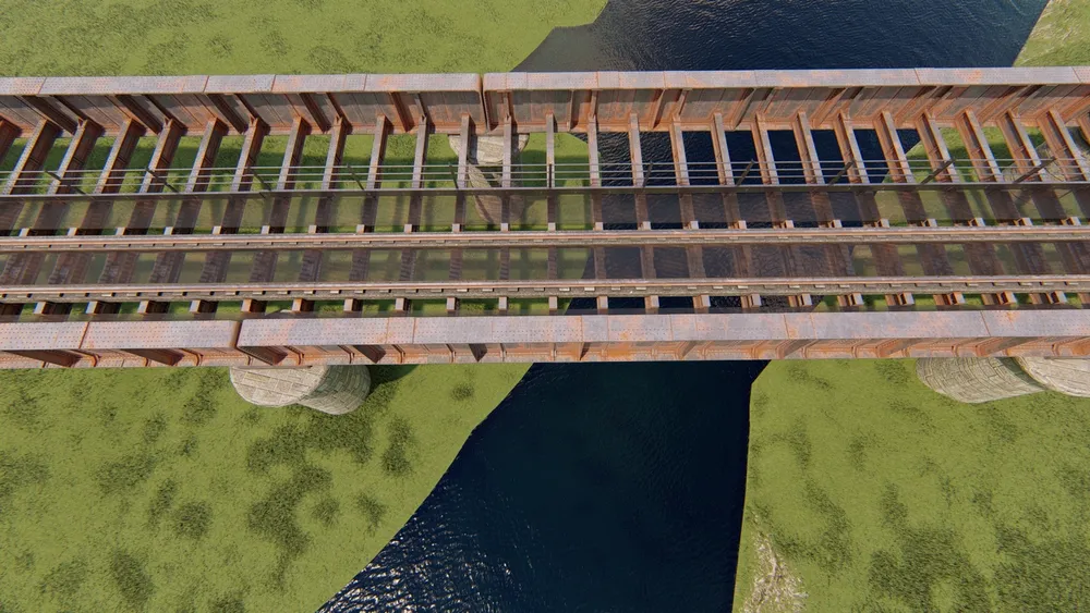
- Visualisation outputs such as fly-throughs and panoramic imagery to support environment and access planning, including identification of invasive species risks
This integrated, remote-first approach maximised safety, ensured railway continuity, and delivered a comprehensive digital asset for engineering and long-term management.